Image:Decade volcanoes map.gif
From Wikipedia, the free encyclopedia
Size of this preview: 640 × 415 pixels
Full resolution (647 × 420 pixels, file size: 15 KB, MIME type: image/gif)
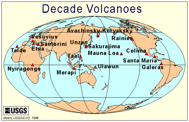
Decade Volcanoes location map. From .
 |
This image is a work of a United States Geological Survey employee, taken or made during the course of the person's official duties. As a work of the United States Government, the image is in the public domain. For more information, see the USGS copyright policy. See Wikipedia:Public domain and Wikipedia:Copyrights for more details. | |
| |
This file is an exact duplicate of another file from the Wikimedia Commons. Unless it is currently protected from editing, this media file may qualify for speedy deletion if it satisfies these conditions. | |
File history
Click on a date/time to view the file as it appeared at that time.
| Date/Time | Dimensions | User | Comment | |
|---|---|---|---|---|
| current | 12:23, 7 March 2005 | 647×420 (15 KB) | Worldtraveller ( Talk | contribs) | (Decade Volcanoes location map. From [http://vulcan.wr.usgs.gov/Volcanoes/DecadeVolcanoes/]. {{PD-USGov-Interior-USGS}}) |
See the setup instructions for more information.
File links
The following file is a duplicate of this file:
The following pages on Schools Wikipedia link to this image (list may be incomplete):
Categories: USGS images