Yèvres
| Yèvres | ||
|---|---|---|
| Commune | ||
.jpg) | ||
| ||
 Yèvres | ||
|
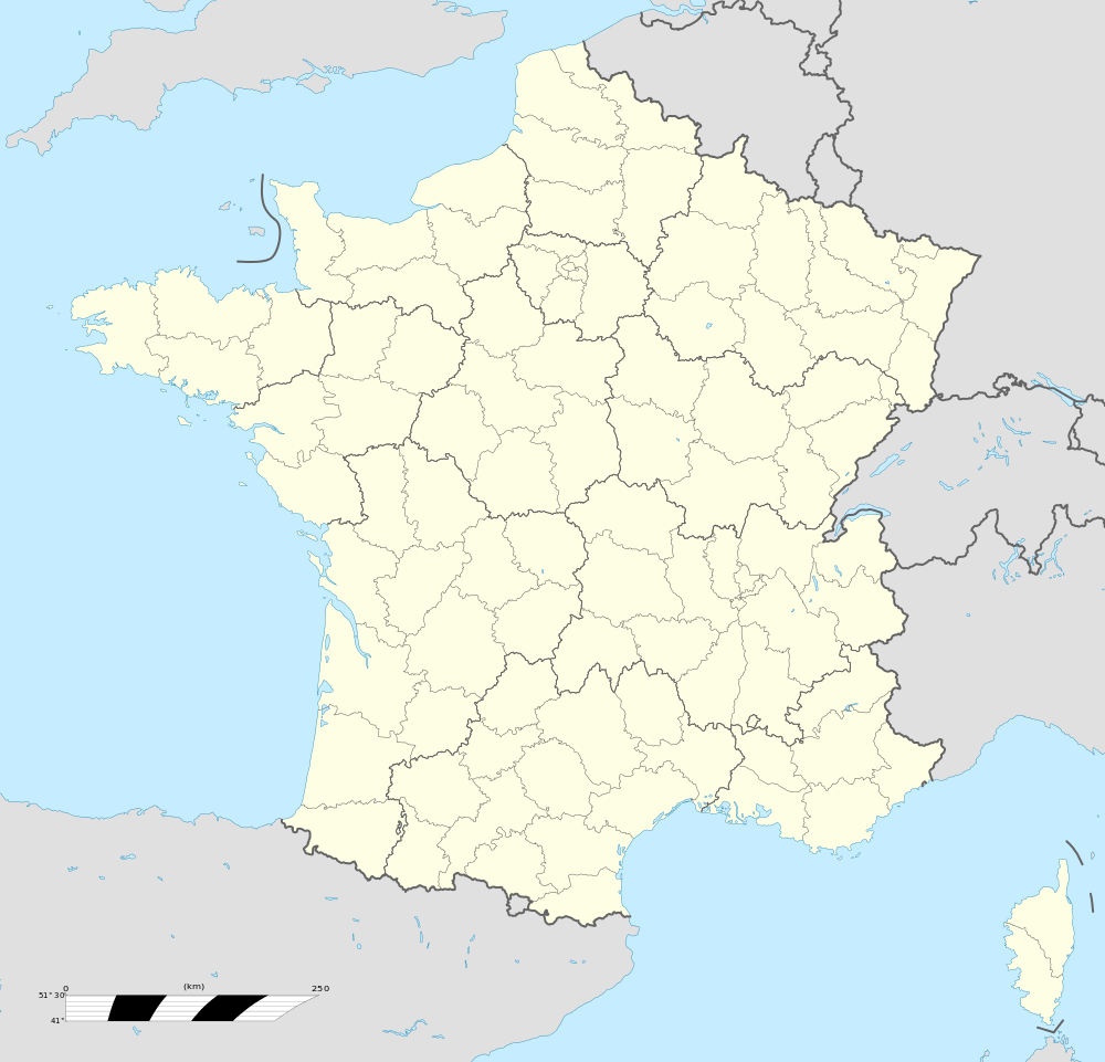
Location within Centre-Val de Loire region  Yèvres | ||
| Coordinates: 48°12′40″N 1°11′28″E / 48.2111°N 1.1911°ECoordinates: 48°12′40″N 1°11′28″E / 48.2111°N 1.1911°E | ||
| Country | France | |
| Region | Centre-Val de Loire | |
| Department | Eure-et-Loir | |
| Arrondissement | Châteaudun | |
| Canton | Brou | |
| Intercommunality | Perche-Gouët | |
| Government | ||
| • Mayor (2014-2020) | Bruno Perry | |
| Area1 | 41.75 km2 (16.12 sq mi) | |
| Population (2013)2 | 1,723 | |
| • Density | 41/km2 (110/sq mi) | |
| Time zone | CET (UTC+1) | |
| • Summer (DST) | CEST (UTC+2) | |
| INSEE/Postal code | 28424 /28160 | |
| Elevation | 137–182 m (449–597 ft) | |
|
1 French Land Register data, which excludes lakes, ponds, glaciers > 1 km² (0.386 sq mi or 247 acres) and river estuaries. 2 Population without double counting: residents of multiple communes (e.g., students and military personnel) only counted once. | ||

Yèvres is a commune in the Eure-et-Loir department in northern France.
Population
| Historical population | ||
|---|---|---|
| Year | Pop. | ±% |
| 1962 | 1,193 | — |
| 1968 | 1,211 | +1.5% |
| 1975 | 1,292 | +6.7% |
| 1982 | 1,458 | +12.8% |
| 1990 | 1,676 | +15.0% |
| 1999 | 1,707 | +1.8% |
| 2008 | 1,709 | +0.1% |
See also
References
External links
| Wikimedia Commons has media related to Yèvres. |
This article is issued from
Wikipedia.
The text is licensed under Creative Commons - Attribution - Sharealike.
Additional terms may apply for the media files.