Toter Mann (Black Forest)
| Toter Mann | |
|---|---|
|
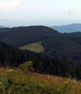
View from the Feldberg of the Toter Mann | |
| Highest point | |
| Elevation | 1,320.7 m above sea level (NHN) (4,333 ft) |
| Coordinates | 47°53′33″N 7°59′26″E / 47.8925°N 7.99056°ECoordinates: 47°53′33″N 7°59′26″E / 47.8925°N 7.99056°E |
| Geography | |
 Toter Mann | |
| Parent range | Black Forest |
The Toter Mann ("Dead Man") is a mountain, 1,320.7 m above sea level (NHN)[1] high, in the Southern Black Forest in Baden-Württemberg. It lies southeast of Freiburg im Breisgau in the municipality of Oberried.
References
This article is issued from
Wikipedia.
The text is licensed under Creative Commons - Attribution - Sharealike.
Additional terms may apply for the media files.