Thornton, East Riding of Yorkshire
| Thornton | |
|---|---|
 Street in Thornton | |
 Thornton | |
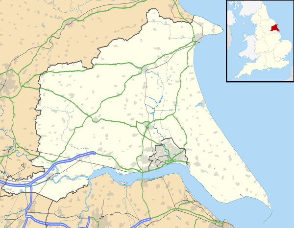
| Thornton shown within the East Riding of Yorkshire | |
| Population | 138 (2011 census)[1] |
| OS grid reference | SE759453 |
| Civil parish |
|
| Unitary authority | |
| Ceremonial county | |
| Region | |
| Country | England |
| Sovereign state | United Kingdom |
| Post town | YORK |
| Postcode district | YO42 |
| Dialling code | 01759 |
| Police | Humberside |
| Fire | Humberside |
| Ambulance | Yorkshire |
| EU Parliament | Yorkshire and the Humber |
| UK Parliament | |
Thornton is a village and civil parish in the East Riding of Yorkshire, England. It is situated approximately 3.5 miles (5.6 km) south-west of the town of Pocklington and 5 miles (8 km) north-west of the village of Holme-on-Spalding-Moor. It lies just to the north of the Pocklington Canal.
According to the 2011 UK census, Thornton parish had a population of 138,[1] exactly the same as on the 2001 UK census.[2]

St Michael's Church, Thornton
The parish church of St Michael on Main Street is designated a Grade II* listed building.[3]
The other listed structures in the parish are Walbut Lock and Walbut Bridge on the Pocklington Canal, both of which are Grade II listed.[4][5]
References
- 1 2 "Key Figures for 2011 Census: Key Statistics: Area: Thornton CP (Parish)". Neighbourhood Statistics. Office for National Statistics. Retrieved 7 February 2013.
- ↑ "2001 Census: Key Statistics: Parish Headcounts: Area: Thornton CP (Parish)". Neighbourhood Statistics. Office for National Statistics. Retrieved 20 May 2008.
- ↑ Historic England. "Church of St Michael (1346434)". National Heritage List for England. Retrieved 10 March 2013.
- ↑ Historic England. "Pocklington Canal Walbut Lock (1083859)". National Heritage List for England. Retrieved 25 February 2017.
- ↑ Historic England. "Pocklington Canal Walbut Bridge (1309793)". National Heritage List for England. Retrieved 25 February 2017.
- Gazetteer — A–Z of Towns Villages and Hamlets. East Riding of Yorkshire Council. 2006. p. 11.
External links
| Wikimedia Commons has media related to Thornton. |
- Thornton in the Domesday Book
This article is issued from
Wikipedia.
The text is licensed under Creative Commons - Attribution - Sharealike.
Additional terms may apply for the media files.