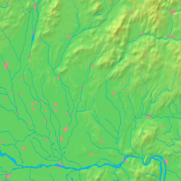
Tekovské Lužany
| Tekovské Lužany | |
| Village | |
| | |
| Country | Slovakia |
|---|---|
| Region | Nitra |
| District | Levice |
| Elevation | 156 m (512 ft) |
| Coordinates | 48°06′N 18°32′E / 48.100°N 18.533°ECoordinates: 48°06′N 18°32′E / 48.100°N 18.533°E |
| Area | 43.94 km2 (17 sq mi) |
| Population | 2,937 (2004-12-31) |
| Density | 67/km2 (174/sq mi) |
| First mentioned | 1156 |
| Postal code | 935 41 |
| Area code | +421-36 |
| Car plate | LV |
  Location of Tekovské Lužany in Slovakia | |
  Location of Tekovské Lužany in the Nitra Region | |
| Wikimedia Commons: Tekovské Lužany | |
| Statistics: MOŠ/MIS | |
| Website: www.tekovskeluzany.sk | |
Tekovské Lužany (Hungarian: Nagysalló) is a village and municipality in the Levice District in the Nitra Region of Slovakia.
History
In historical records the village was first mentioned in 1156. The settlement had Hungarian majority in the 17th century according to the Turkish tax census.[1]
Geography
The village lies at an altitude of 156 metres and covers an area of 43.936 km². It has a population of about 2940 people.
Ethnicity
The village is about 62% Slovak, 35% Magyar and 3% Gypsy.
Facilities
The village has a public library, cinema, football pitch.
External links
- ↑ Károly Kocsis, Eszter Kocsisné Hodosi, Ethnic Geography of the Hungarian Minorities in the Carpathian Basin, Simon Publications LLC, 1998, p. 46
This article is issued from
Wikipedia.
The text is licensed under Creative Commons - Attribution - Sharealike.
Additional terms may apply for the media files.