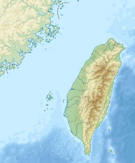
Dadu River (Taiwan)
Coordinates: 24°10′11.5″N 120°31′05.7″E / 24.169861°N 120.518250°E
| Dadu River or Wu River | |
|---|---|
 Sunset at the lower reaches of Wu River | |
 Wu River in Taiwan | |
| Country | Taiwan |
| Basin features | |
| Main source | Central Mountain Range: western foothills of Hehuanshan |
| River mouth | Taiwan Strait: Taichung City/Changhua County border |
| Basin size | 2,025.6 km2 (782.1 sq mi) |
| Physical characteristics | |
| Length | 119.13 km (74.02 mi) |
The Wu River (Chinese: 烏溪; Pe̍h-ōe-jī: O͘-khe), also known as the Dadu River (Chinese: 大肚溪; pinyin: Dàdù Xī; Wade–Giles: Ta4-tu4 Hsi1) is a river in Taiwan.[1] It flows through Taichung City, Changhua County, and Nantou County for 119 kilometers.[2][3][4] It is the fourth largest river in Taiwan in terms of drainage area, and the sixth longest one.[2]
See also
| Wikimedia Commons has media related to Dadu River. |
References
- ↑ "GeoNames Search". Geographic Names Database. National Geospatial-Intelligence Agency, USA. Retrieved 1 May 2016.
- 1 2 "Geography & demographics". The Republic of China Yearbook 2015. Executive Yuan. 2015. pp. 40–53. ISBN 978-986-04-6013-1.
- ↑ "Wu River" (in Chinese). Water Resources Agency, Ministry of Economic Affairs. Retrieved 1 May 2016.
- ↑ "Geographic Location". About Changhua. Changhua County Government. 14 March 2012. Retrieved 1 May 2016.
This article is issued from
Wikipedia.
The text is licensed under Creative Commons - Attribution - Sharealike.
Additional terms may apply for the media files.