Tamarindo Airport
| Tamarindo Airport | |||||||||||
|---|---|---|---|---|---|---|---|---|---|---|---|
| Summary | |||||||||||
| Airport type | Private | ||||||||||
| Location | Tamarindo, Costa Rica | ||||||||||
| Elevation AMSL | 13 m / 43 ft | ||||||||||
| Coordinates | 10°18′57″N 085°48′44″W / 10.31583°N 85.81222°WCoordinates: 10°18′57″N 085°48′44″W / 10.31583°N 85.81222°W | ||||||||||
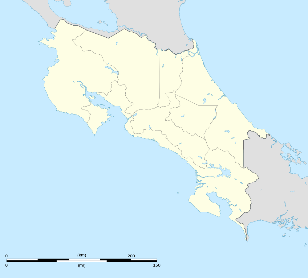
| Map | |||||||||||
 MRTM Location in Costa Rica | |||||||||||
| Runways | |||||||||||
| |||||||||||
| Statistics (2014) | |||||||||||
| |||||||||||
Tamarindo Airport (IATA: TNO, ICAO: MRTM) is a private airport that serves Tamarindo, a coastal resort in Guanacaste province, Costa Rica. It is serviced daily with scheduled flights from San José and Liberia, and private charter services are available as well. During the rainy season, the airport is frequently closed due to the weather.
Tamarindo airport is the fifth-busiest in the country by passenger traffic, the third-busiest domestic-only airport after Puerto Jiménez and Quepos and the busiest private-managed airport in Costa Rica.
See also
 Costa Rica portal
 Aviation portal
- Transport in Costa Rica
- List of airports in Costa Rica
Scheduled services
| Airlines | Destinations |
|---|---|
| Nature Air | Liberia, San José |
| Sansa Airlines | San José |
Passenger Statistics
These data show number of passengers movements into the airport, according to the Directorate General of Civil Aviation of Costa Rica's statistical yearbooks.
| Year | 2008 | 2009 | 2010 | 2011 | 2012 | 2013 | 2014 | 2015 |
|---|---|---|---|---|---|---|---|---|
| Passengers | 34,143 | 26,321 | 20,755 | 17,807 | 16,548 | 15,436 | 30,108 | T.B.A. |
| Growth (%) | | | | | | | | T.B.A. |
| Source: Costa Rica's Directorate General of Civil Aviation (DGAC). Statistical Yearbooks (Years 2008,[3] 2009,[4] 2010,[5] 2011,[6] 2012,[7] 2013,[8] and 2014[2]) | ||||||||
| Year | 2000 | 2001 | 2002 | 2003 | 2004 | 2005 | 2006 | 2007 |
|---|---|---|---|---|---|---|---|---|
| Passengers | 29,748 | 27,132 | 29,762 | 35,434 | 40,633 | 36,679 | 41,400 | 40,118 |
| Growth (%) | N.A. | | | | | | | |
| Source: Costa Rica's Directorate General of Civil Aviation (DGAC). Statistical Yearbooks (Years 2000-2005,[9] 2006,[10] and 2007,[11]) | ||||||||
References
- ↑ Aeronautical Information Publication (AIP) of Costa Rica, Section III (Airstrips)
- 1 2 DGAC Yearbook 2014
- ↑ DGAC Yearbook 2008
- ↑ DGAC Yearbook 2009
- ↑ DGAC Yearbook 2010
- ↑ DGAC Yearbook 2011
- ↑ DGAC Yearbook 2012
- ↑ DGAC Yearbook 2013
- ↑ Oficina de Planificación, DGAC de Costa Rica
- ↑ DGAC Yearbook 2006
- ↑ DGAC Yearbook 2007
This article is issued from
Wikipedia.
The text is licensed under Creative Commons - Attribution - Sharealike.
Additional terms may apply for the media files.