Southburn
| Southburn | |
|---|---|
 Southburn | |
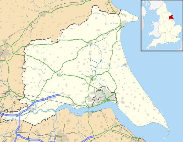
| Southburn shown within the East Riding of Yorkshire | |
| OS grid reference | SE989543 |
| Civil parish | |
| Unitary authority | |
| Ceremonial county | |
| Region | |
| Country | England |
| Sovereign state | United Kingdom |
| Post town | DRIFFIELD |
| Postcode district | YO25 |
| Dialling code | 01377 |
| Police | Humberside |
| Fire | Humberside |
| Ambulance | Yorkshire |
| EU Parliament | Yorkshire and the Humber |
| UK Parliament | |
Southburn is a hamlet in the East Riding of Yorkshire, England, it forms part of the civil parish of Kirkburn. It is situated in the Yorkshire Wolds just south of the A164 road, approximately 3 miles (4.8 km) south-west of Driffield and 2.5 miles (4 km) north-west of Hutton Cranswick.

Station cottages, Southburn
From 1890 until 1954 Southburn was served by Southburn railway station on the Selby to Driffield Line.[1][2]
References
- ↑ Butt, R. V. J. (1995). The Directory of Railway Stations: details every public and private passenger station, halt, platform and stopping place, past and present (1st ed.). Sparkford: Patrick Stephens Ltd. ISBN 978-1-85260-508-7. OCLC 60251199.
- ↑ Bairstow, Martin (1990). Railways In East Yorkshire. Martin Bairstow. ISBN 1-871944-03-1.
- Gazetteer — A–Z of Towns Villages and Hamlets. East Riding of Yorkshire Council. 2006. p. 10.
External links
| Wikimedia Commons has media related to Southburn. |
- "Kirkburn: Geographical and Historical information from the year 1892 (Bulmers')" (includes Southburn), Genuki.org.uk. Retrieved 16 April 2012
- Southburn in the Domesday Book
This article is issued from
Wikipedia.
The text is licensed under Creative Commons - Attribution - Sharealike.
Additional terms may apply for the media files.