Skelton, East Riding of Yorkshire
| Skelton | |
|---|---|
 Skelton | |
| Skelton shown within the East Riding of Yorkshire | |
| OS grid reference | SE766256 |
| • London | 155 mi (249 km) S |
| Civil parish | |
| Unitary authority | |
| Ceremonial county | |
| Region | |
| Country | England |
| Sovereign state | United Kingdom |
| Post town | GOOLE |
| Postcode district | DN14 |
| Dialling code | 01430 |
| Police | Humberside |
| Fire | Humberside |
| Ambulance | Yorkshire |
| EU Parliament | Yorkshire and the Humber |
| UK Parliament | |
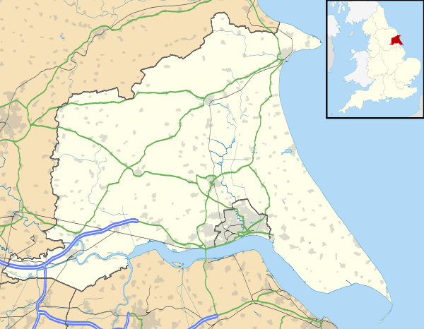
Skelton is a hamlet in the East Riding of Yorkshire, England, and a linear settlement on the east bank of the River Ouse. It is situated about 2 miles (3.2 km) south-east of Howden and 19 miles (31 km) south-east from the county town of York. It forms part of the civil parish of Kilpin. Skelton lies within the constituency of Haltemprice and Howden, an area placed as the 10th most affluent in the country in a Barclays Private Clients survey.[1]

Southern End of Skelton
See also
- Goole railway swing bridge, also known as the Skelton viaduct
References
- Notes
- ↑ "North tops 'real' rich league". BBC News. 14 May 2003. Retrieved 4 July 2014.
- Sources
- Gazetteer — A–Z of Towns Villages and Hamlets. East Riding of Yorkshire Council. 2006. p. 10.
External links
 Media related to Skelton at Wikimedia Commons
- Skelton in the Domesday Book
This article is issued from
Wikipedia.
The text is licensed under Creative Commons - Attribution - Sharealike.
Additional terms may apply for the media files.