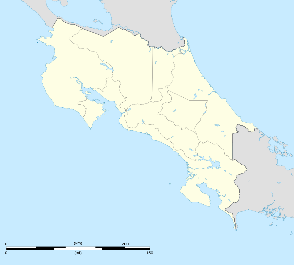
San Vicente, Moravia
| San Vicente | |
|---|---|
| City | |
 San Vicente | |
| Coordinates: 9°58′N 84°03′W / 9.967°N 84.050°WCoordinates: 9°58′N 84°03′W / 9.967°N 84.050°W | |
| Country | Costa Rica |
| Province | San José |
| Canton | Moravia |
| Elevation | 1,226 m (4,022 ft) |
| Population (2012)[1] | |
| • Total | 30,046 |
| Time zone | -6 |
San Vicente is a small city which is the head city of the Moravia canton in the San José Province of Costa Rica. It's located in the district of the same name, among other suburbs, and the whole district has an area of 5,37 km² and an estimated population of 31.256 by 2011. The district is fully integrated into the San José City Metropolitan Área.
The city is settled to an altitude of 1.231 MASL, at an approximate distance of 8 km to the northeast from San José, the Republic's capital city.
Administrative division
The district of San Vicente comprises the city of the same name and the following neighborhoods (by 2009): Alondra, Americano, Américas, Bajo Isla, Bajo Varelas, Barro de Olla, Caragua, Carmen, Colegios, Colegios Norte, Chaves, El Alto (part of), Flor, Florencia, Guaria, Guaria Oriental, Isla, Jardines de Moravia, La Casa, Ladrillera, Robles, Romeral, Sagrado Corazón, San Blas, San Jorge, San Martín, San Rafael, Santa Clara (part of), Santo Tomás and Saprissa.
References
- ↑ "World Gazetteer". Archived from the original on 2013-02-17.