Riencourt-lès-Cagnicourt
| Riencourt-lès-Cagnicourt | ||
|---|---|---|
| Commune | ||
|
The church of Riencourt-lès-Cagnicourt | ||
| ||
 Riencourt-lès-Cagnicourt | ||
|
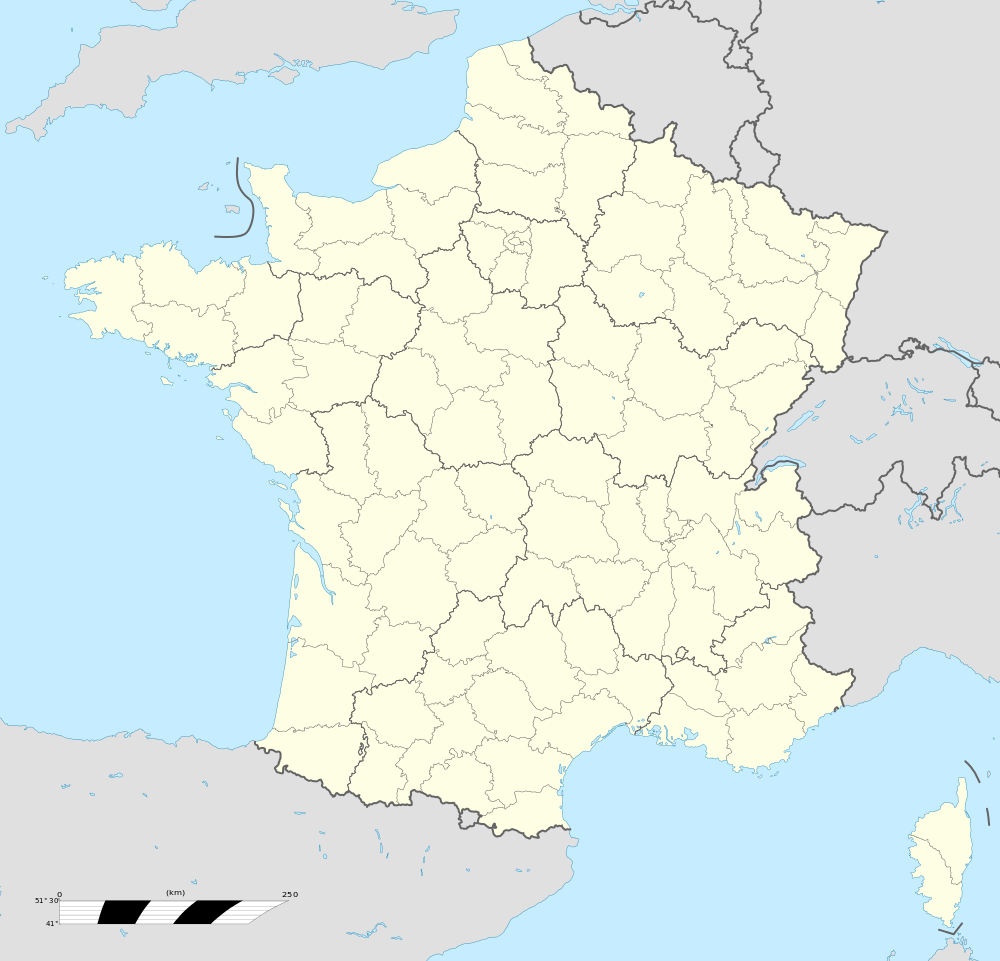
Location within Hauts-de-France region  Riencourt-lès-Cagnicourt | ||
| Coordinates: 50°12′00″N 2°57′31″E / 50.2°N 2.9586°E / 50.2; 2.9586Coordinates: 50°12′00″N 2°57′31″E / 50.2°N 2.9586°E / 50.2; 2.9586 | ||
| Country | France | |
| Region | Hauts-de-France | |
| Department | Pas-de-Calais | |
| Arrondissement | Arras | |
| Canton | Brebières | |
| Intercommunality | Osartis | |
| Government | ||
| • Mayor (2008–2014) | Jean-Michel Barbier | |
| Area1 | 4.73 km2 (1.83 sq mi) | |
| Population (2006)2 | 269 | |
| • Density | 57/km2 (150/sq mi) | |
| Time zone | CET (UTC+1) | |
| • Summer (DST) | CEST (UTC+2) | |
| INSEE/Postal code | 62709 /62182 | |
| Elevation |
75–102 m (246–335 ft) (avg. 90 m or 300 ft) | |
|
1 French Land Register data, which excludes lakes, ponds, glaciers > 1 km² (0.386 sq mi or 247 acres) and river estuaries. 2 Population without double counting: residents of multiple communes (e.g., students and military personnel) only counted once. | ||


Riencourt-lès-Cagnicourt is a commune in the Pas-de-Calais department in the Hauts-de-France region of France.
Geography
Riencourt-lès-Cagnicourt lies 12 miles (19 km) southeast of Arras, at the junction of the D13 and D83 roads.
Population
| 1962 | 1968 | 1975 | 1982 | 1990 | 1999 | 2006 |
|---|---|---|---|---|---|---|
| 251 | 279 | 270 | 267 | 255 | 279 | 269 |
| Census count starting from 1962: Population without duplicates | ||||||
Places of interest
- The church of St.Vaast, rebuilt along with most of the village, after World War I.
See also
References
External links
| Wikimedia Commons has media related to Riencourt-lès-Cagnicourt. |
- Official website of Riencourt les Cagnicourt
- Riencourt-lès-Cagnicourt on the Quid website (in French)
| Authority control |
|---|
This article is issued from
Wikipedia.
The text is licensed under Creative Commons - Attribution - Sharealike.
Additional terms may apply for the media files.