Pollington
| Pollington | |
|---|---|
 Pollington | |
| Pollington shown within the East Riding of Yorkshire | |
| Population | 966 (2011 census)[1] |
| OS grid reference | SE613197 |
| Civil parish |
|
| Unitary authority | |
| Ceremonial county | |
| Region | |
| Country | England |
| Sovereign state | United Kingdom |
| Post town | GOOLE |
| Postcode district | DN14 |
| Dialling code | 01405 |
| Police | Humberside |
| Fire | Humberside |
| Ambulance | Yorkshire |
| EU Parliament | Yorkshire and the Humber |
| UK Parliament | |
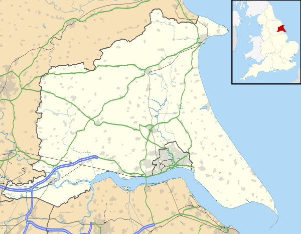
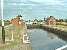
Pollington is a village and civil parish in the East Riding of Yorkshire, England. It is situated approximately 2 miles (3.2 km) south-west of the town of Snaith and 1 mile (1.6 km) south of the M62 motorway. It lies on the north bank of the Aire and Calder Navigation.
According to the 2011 UK census, Pollington parish had a population of 966,[1] an increase on the 2001 UK census figure of 939.[2]
History
In 1940 the Royal Air Force built an airfield called RAF Snaith north-west of Pollington. From it flew primarily these bombing units: 150 Squadron with Wellingtons from 1941 to 1942 and 51 Squadron with Halifaxes from 1942 to 1945. After 1946 it fell into disuse.[3]

Pollington parish was part of the Goole Rural District in the West Riding of Yorkshire from 1894 to 1974, then in Boothferry district of Humberside until 1996.
References
- 1 2 "Key Figures for 2011 Census: Key Statistics: Area: Pollington CP (Parish)". Neighbourhood Statistics. Office for National Statistics. Retrieved 6 February 2013.
- ↑ "2001 Census: Key Statistics: Parish Headcounts: Area: Pollington CP (Parish)". Neighbourhood Statistics. Office for National Statistics. Retrieved 19 May 2008.
- ↑ " "Bomber Command". Royal Air Force. Retrieved 2 April 2012.
- Gazetteer — A–Z of Towns Villages and Hamlets. East Riding of Yorkshire Council. 2006. p. 9.
| Wikimedia Commons has media related to Pollington. |