Pieljekaise National Park
| Pieljekaise National Park | |
|---|---|
| Pieljekaise nationalpark | |
|
IUCN category II (national park) | |
|
Above Jäckvik on Kungsleden trail | |
| Location | Norrbotten County, Sweden |
| Coordinates | 66°20′N 16°44′E / 66.333°N 16.733°ECoordinates: 66°20′N 16°44′E / 66.333°N 16.733°E |
| Area | 153.4 km2 (59.2 sq mi)[1] |
| Established | 1909[1] |
| Governing body | Naturvårdsverket |
Pieljekaise is a Swedish national park. It lies about 10 km (6.2 mi) south of Jäkkvik in Arjeplog Municipality, Lappland. The park consists largely of birch woods.
The park is traversed by the Kungsleden hiking trail and the trail continues into the nearby the Vindelfjällens Nature Reserve, one of the largest protected areas in Europe.

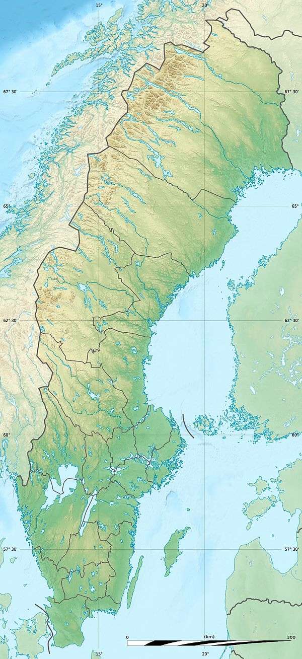
National parks of Sweden (clickable map)
References
- 1 2 "Pieljekaise National Park". Naturvårdsverket. Retrieved 2009-02-26.
External links
This article is issued from
Wikipedia.
The text is licensed under Creative Commons - Attribution - Sharealike.
Additional terms may apply for the media files.
