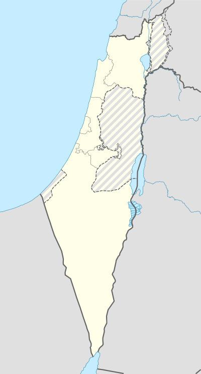
Ofakim
Ofakim
| ||
|---|---|---|
| Hebrew transcription(s) | ||
| • ISO 259 | ʔopaqim | |
 | ||
| ||
 Ofakim | ||
| Coordinates: 31°19′N 34°37′E / 31.317°N 34.617°ECoordinates: 31°19′N 34°37′E / 31.317°N 34.617°E | ||
| District | Southern | |
| Founded | 19 April 1955 | |
| Government | ||
| • Type | City | |
| • Mayor | Yitzhak Danino | |
| Area | ||
| • Total | 10,273 dunams (10.273 km2 or 3.966 sq mi) | |
| Population (2015)[1] | ||
| • Total | 25,638 | |
| Name meaning | Horizons | |
Ofakim (Hebrew: אֳפָקִים) (lit. "horizons") is a city in the Southern District of Israel, 20 kilometers west of Beersheba. It achieved municipal status in 1955. It has an area of 10,000 dunams. In 2015 it had a population of 25,638.[1]
History


Ofakim was established in 1955 as an urban center for the rural communities in the area.[2] The early residents were Jewish immigrants from North Africa and India.[3]
Demographics

In 2010, about one-fifth of the residents were ultra-Orthodox and one third were immigrants from the former Soviet Union.[4] The rest are descendants of the founding generation, immigrants from North Africa and India who arrived in the town in the 1950s and 1960s. Ofakim also has a small community of Ethiopian Jews.[3]
Economy
As in other development towns, the industrial sector has historically played an important part in Ofakim's economy. In 1972, 32% of the salaried workers (754 people) were in this sector, and in 1983—924 people (23%). During this period, the textile industries consistently employed by far the most workers, ranging from 72% (1982–83) to 82% (1972). The Of–Ar (short for Ofakim–Argentina) textile factory was a major employer.[5]
Education
In 2001, there were 19 schools and 4,704 students in the city – 13 elementary schools (3,079 students), and 8 high schools (1,625 students). 43.3% of 12th grade students were entitled to a matriculation certificate.
Sports
One of Israel's 14 tennis centers is located in Ofakim.[6] It opened in 1990 and has six courts. The city also has a soccer stadium.
Development plans
A train station opened in 2015 with a car park for 1,000 cars, and an old industrial building is being converted into an art museum.[3] The Nahal Shomriya cycling route around Ofakim was inaugurated in 2010. The 60-centimeter-wide single route winds through 1,500 dunams (approx 375 acres) in Ofakim Forest, passing through Nahal Shomriya and Nahal Patish, and looping around eight local moshavim.[7]
Notable residents
- Oren Smadja, judoka
- Robert Tiviaev, former Knesset member
References
| Wikimedia Commons has media related to Ofakim. |
- 1 2 "List of localities, in Alphabetical order" (PDF). Israel Central Bureau of Statistics. Retrieved 16 October 2016.
- ↑ Go south, young men (and women), Haaretz
- 1 2 3 New Horizons for Ofakim
- ↑ Go south, young men (and women), Haaretz
- ↑ Schwarz, Dafna (2009). "Industrialization Attempts in Three Development Towns: Ofakim, Migdal HaEmek and Ma'alot". In Halamish, Aviva; Meir-Glitzenstein, Esther; Tzameret, Zvi. The Development Towns. Idan Series Vol. 24 (in Hebrew). Yad Yitzhak Ben Zvi. pp. 160–162. ISBN 978-965-217-298-3.
- ↑ Tennis doubles coexistence program
- ↑ Riding and Building New Ofakim – Shomriya Cycling Route
