Mumbil, New South Wales
| Mumbil New South Wales | |
|---|---|
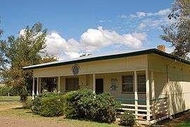 Mumbil-Stuart Town CWA building | |
|
Mumbil | |
| Coordinates | 32°43′0″S 149°03′0″E / 32.71667°S 149.05000°ECoordinates: 32°43′0″S 149°03′0″E / 32.71667°S 149.05000°E |
| Population | 421 (2011 census)[1] |
| Postcode(s) | 2820 |
| Location | |
| LGA(s) | Western Plains Regional Council |
| State electorate(s) | Dubbo |
| Federal Division(s) | Parkes |
Mumbil is a town in the east of central New South Wales, Australia. The town is within Western Plains Regional Council, part of the Orana Region, 327 kilometres (203 mi) north west of the state capital, Sydney. At the 2011 census, Mumbil and the surrounding area had a population of 421.[1]
References
| Wikimedia Commons has media related to Mumbil, New South Wales. |
- 1 2 Australian Bureau of Statistics (31 October 2012). "Mumbil (State Suburb)". 2011 Census QuickStats. Retrieved 9 April 2015.

This article is issued from
Wikipedia.
The text is licensed under Creative Commons - Attribution - Sharealike.
Additional terms may apply for the media files.