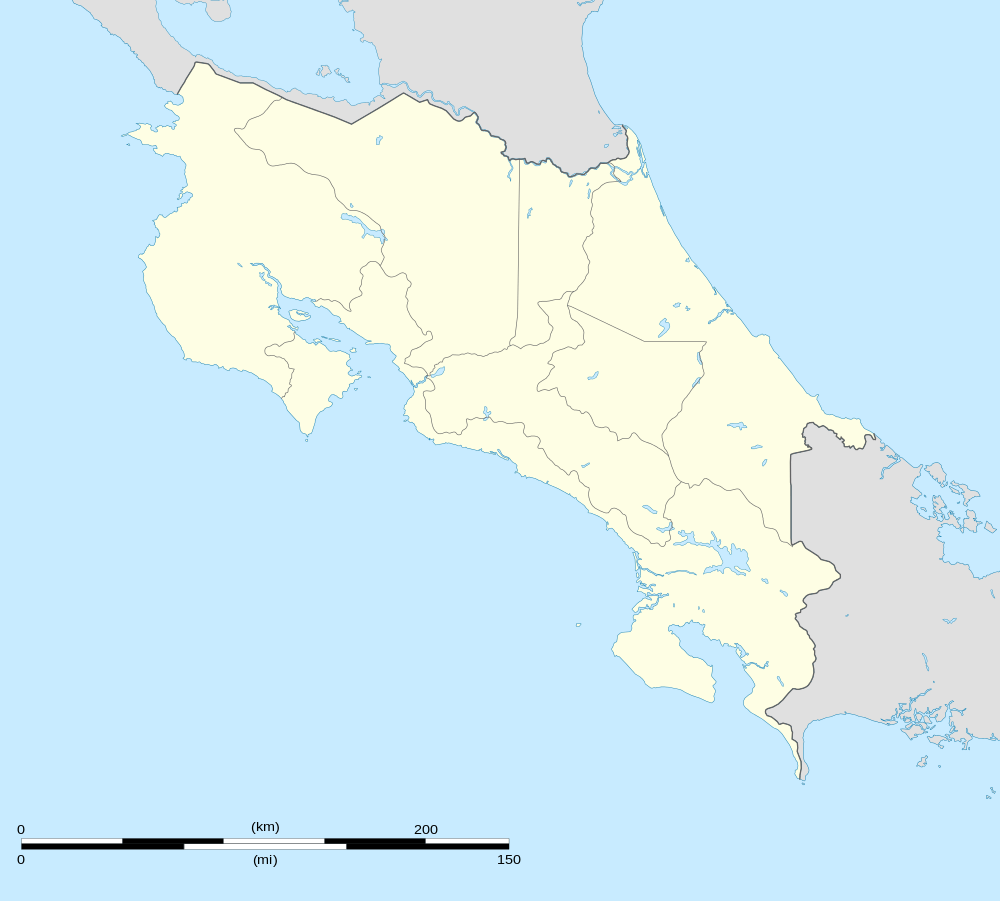
La Tigra, Costa Rica
| La Tigra | |
|---|---|
| District | |
 La Tigra | |
| Coordinates: 10°20′26″N 84°34′51″W / 10.34056°N 84.58083°WCoordinates: 10°20′26″N 84°34′51″W / 10.34056°N 84.58083°W | |
| Country |
|
| Province | Alajuela |
| Canton | San Carlos |
| Area | |
| • Total | 60.28 km2 (23.27 sq mi) |
| Elevation | 200-1,100 m (−3,400 ft) |
| Population (2011) | |
| • Total | 6,374 |
| • Density | 110/km2 (270/sq mi) |
| Time zone | UTC−06:00 |
| ZIP codes | 21008 |
“La Tigra " is the name of the district number 8 of the canton of San Carlos, which in turn belongs to the province of Alajuela in Costa Rica.
Location
It is located in the northern region of the country and limits to the north with Florencia, to the south with San Ramón, to the east with Florencia and San Ramón.
Its head, the village of La Tigra, is located 27.9 Km (48 minutes) to the E of Ciudad Quesada and 108 Km (2 hours 36 minutes) to the NW of San José the capital of the nation.
Geography
La Tigra has an area of 60.28 km², which makes it the twelfth district of the canton by area.
It is located at an elevation of between 200 to 1100 meters above sea level.
Demography
The district has 6 374 inhabitants, making it the ninth most populated of the canton. [1]
La Tigra has 10 population centers:
- La Tigra (head of the district)
- Concepción
- El Futuro
- San José
- San Pedro
- San Isidro
- San Miguel
- San Rafael
- La Lucha
- San Gerardo
Economy
The production of ornamental plants became, over the years, one of the main productive activities of this district, where the climate and the land lend themselves to the cultivation of large variety of species of export like dracaenas, Indian cane, orchids, deremensis, between others.
In addition to the plants, crops such as cassava, the ñampí, the tiquizque and the banana are planted, among others.
In turn, the arrival of tourism is glimpsed with the Bosque Eterno de Los Niños, which owns a rainforest with a great diversity of plants and animals that give life to the place.
See also
- District of Quesada
- District of Florencia
- District of Buenavista
- District of Aguas Zarcas
- District of Venecia
- District of Pital
- District of La Fortuna
- District of La Palmera
- District of Venado
- District of Cutris
- District of Monterrey
- District of Pocosol
References
- ↑ "2011 Census Population Report" (pdf). INEC.