Khirbet Tibnah
Khirbet Tibnah (alternate spelling: Tibneh) refers to two locations: a site in the West Bank overlooking Wadi Reiya and identified with Timnath-serah (Hebrew: תִמְנַת-סֶרַח) of the Bible,[1] and an archeological site situated 2 miles southwest of Bet Shemesh, Israel.[2]
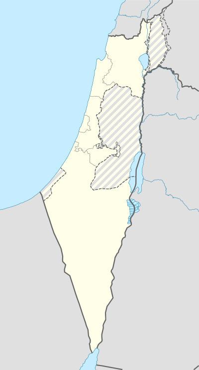
 Shown within the West Bank | |
| Location |
|
|---|---|
| Coordinates | 32°07′07″N 35°10′04″E / 32.118617°N 35.16785°E |
Khirbet Tibnah in the West Bank is situated 12 miles northeast Lod, 10 miles northwest of Bethel and 17 miles southwest of Shechem.[3][4]
In the Bible, Timnath-serah is the site chosen by Joshua as his inheritance.[5]
Khirbet Tibnah is described in 19th century sources as a Tell overlooking a deep valley (Wady Reiya) on the north and the ancient Roman road to the south. A cemetery was situated on a flat hill nearby, and to the northwest, the spring of Ein Tibnah emerged from a rocky channel. On the southwest was an oak tree some 30 or 40 feet high, and two wells, one of them dry. West of the tree were traces of ruins believed to be those of an Arab village.
Charles William Wilson, who traveled through Palestine in 1866, reported a cemetery containing nine tombs south of the town, which was once capital of the surrounding district: One of these tombs was large, with a portico supported on piers of rock with very simple capitals. One of the piers was apparently destroyed between 1866 and 1873. There were niches for over 200 lamps at the tomb entrance. Inside was a chamber with fourteen graves, or kok'im, with a passage leading into an inner chamber containing one grave. He also wrote about a 40 foot high oak tree near the tomb, known as Sheikh et Teim, and a village about 3 miles to the east, called Kefr Ishu'a, or Joshua's Village.
The site near Beit Shemesh is associated with stories of the biblical Samson (Judges 14:1-5).[6] The Hebrew patriach, Judah, is said to have gone to Timnah (Tibneh) to shear his sheep, when he met his daughter-in-law in passing.[7] When Edward Robinson visited the immediate area in 1838, Tibneh was already a deserted village.[8] Today, access to the site is restricted because of its proximity to a military installation. Between the ancient ruin of Timnah and the biblical city of Beit Shemesh ('Ain Shems) lay another village named Bîr el-Leimûn, a place still inhabited as late as 1835,[9] but now too a ruin.
 Shown within Israel | |
| Location |
|
|---|---|
| Coordinates | 31°44′44″N 34°59′12″E / 31.745686°N 34.986649°E |
References
- ↑ Geoffrey W. Bromiley (June 1995). The International Standard Bible Encyclopedia: Q-Z. Wm. B. Eerdmans Publishing. p. 856. ISBN 978-0-8028-3784-4. Retrieved 4 October 2010.
- ↑ Avraham Negev; Shimon Gibson (July 2005). Archaeological encyclopedia of the Holy Land. Continuum International Publishing Group. p. 509. ISBN 978-0-8264-8571-7. Retrieved 4 October 2010.
- ↑ Bruce Manning Metzger; Roland Edmund Murphy (1991). The new Oxford annotated Bible with the Apocryphal/Deuterocanonical books: New revised standard version. Oxford University Press. p. 293. Retrieved 4 October 2010.
- ↑ Howard Clark Kee; American Bible Society (April 2000). The learning Bible: Contemporary English Version. American Bible Society. p. 425. ISBN 978-1-58516-025-9. Retrieved 4 October 2010.
- ↑ Yahweh and the sun: Biblical and archaeological evidence for sun worship in ancient Israel, Glen Taylor
- ↑ Woudstra, Marten H., The Book of Joshua (1981)
- ↑ Genesis 38:14
- ↑ Edward Robinson, Biblical Researches in Palestine, vol. II, section XI, London 1856, pp. 16–17
- ↑ Edward Robinson and Eli Smith, Biblical Researches in Palestine, Mount Sinai and Arabia Petraea (vol. III), Boston 1841, Arabic Lists - Second Appendix on p. 120