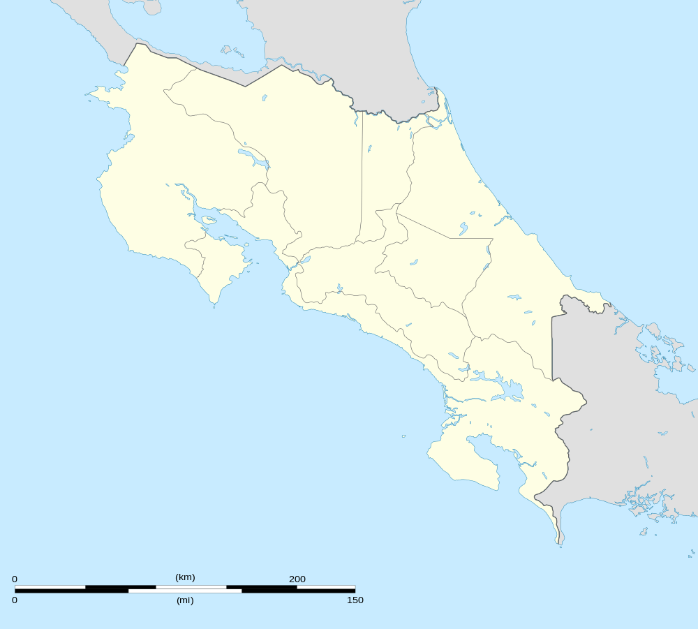
Jiménez de Pococí, Costa Rica
| Jiménez | |
|---|---|
| District | |
 Jiménez | |
| Coordinates: 10°12′34″N 83°44′40″W / 10.20944°N 83.74444°WCoordinates: 10°12′34″N 83°44′40″W / 10.20944°N 83.74444°W | |
| Country |
|
| Province | Limon |
| Canton | Pococí |
| Area | |
| • Total | 107.72 km2 (41.59 sq mi) |
| Elevation | 223 m (732 ft) |
| Population (2011) | |
| • Total | 10,501 |
| • Density | 97/km2 (250/sq mi) |
| Time zone | UTC−06:00 |
| ZIP codes | 70202 |
Jiménez is the name of the district number 2 of the Pococí Canton, which in turn belongs to the province of Limón in Costa Rica.
Location
It is located in the central Caribbean region and borders the districts of Roxana to the N, Guápiles to the S and the O, Canton of Guácimo to the S and the E.
Its head, the town of Jiménez, is located 5.2 km (11 minutes) to the E of Guápiles and 71.5 km (1 hours 36 minutes) NE of San José the capital of the nation.
Geography
Jiménez has an area of 107.72 km², which makes it the sixth district of the canton by area.
It presents a mountainous landscape in the south and flat to the north, with an average altitude of 223 meters on the level of the sea. [1]
Demography
The district has 10,501 inhabitants. Making it the fifth most populated of the canton, behind Guápiles, Cariari, Rita and Roxana. [2]
The 17 population centers that make up the district are:
- Jiménez (head of the district)
- Granja
- Molino
- Numancia
- Santa Clara
- Anita Grande
- Calle Diez
- Calle Emilia
- Calle Seis
- Calle Uno
- Condado del Río
- Floritas
- Parasal
- San Luis
- San Martín
- San Valentín
- Suerre
Economy
Jiménez, its head, has health and education services.
In terms of trade, the sale of groceries and various accessories stands out.
See also
- Cantons of Costa Rica
- Canton of Pococí
- District of Guápiles
- District of La Rita
- District of Roxana
- District of Cariari
- District of Colorado
- District of La Colonia
References
- ↑ "Rural Territorial Development Plan of Pococí" (pdf). INDER.
- ↑ "2011 Census Population Report" (pdf). INEC.