High Coast
|
View over the High Coast from the top of Skuleberget | |
| UNESCO World Heritage Site | |
|---|---|
| Location |
Västernorrland County, Sweden |
| Coordinates | 63°00′00″N 18°25′00″E / 63°N 18.41667°E |
| Criteria | viii |
| Reference | 898 |
| Inscription | 2000 (24th Session) |
| Extensions | 2006 |
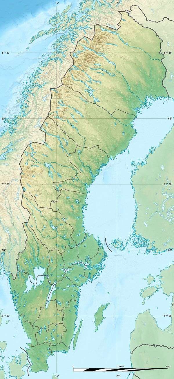
 Location of High Coast | |
The High Coast (Swedish: Höga kusten) is a part of the coast of Sweden on the Gulf of Bothnia, in the municipalities of Kramfors, Härnösand and Örnsköldsvik and notable as a type area for research on post-glacial rebound and eustacy, in which the land rises as the weight of the glaciers melts off of it. This phenomenon was first recognised and studied there; since the last ice age the land has risen 800 m, which accounts for the unusual landscape with tall cliff formations. The High Coast is part of the Swedish/Finnish High Coast/Kvarken Archipelago World Heritage Site (the High Coast was joined with the Finnish Kvarken areas in 2006).
UNESCO, when putting the area on the World Heritage List in 2000, remarked that "the High Coast site affords outstanding opportunities for the understanding of the important processes that formed the glaciated and land uplift areas of the Earth's surface".
The most popular places to visit in the High Coast of Sweden are Skule Mountain, Skuleskogen National Park and the islands Ulvön and Trysunda.
Hike in the High Coast
The High Coast of Sweden is excellent for hiking and is seen as one of the best hiking regions in Sweden. Both outdoor magazines (such as Utemagasinet and Outside) and daily newspapers (such as Svenska Dagbladet) rank the High Coast Trail as the top of Sweden's hiking trails. The Höga Kustenleden is a 128 kilometer long trail along the High Coast. For dayhikes Skule Mountain and Skule National park are perfect. If you are looking to hike with likeminded people the High Coast Hike (Höga Kusten Hike) is an annual event suitable for both experienced and new hikers.
Origin of the term
The term High Coast was coined in connection with a report on the area in 1974 [1] Before then the area was termed The Ångermanland Coast.[2][3]
Further reading
- Lars Bergström Höga kusten: natur, människor och tradition längs kusten från Sundsvall till Örnsköldsvik - ett av Sveriges vackraste och mest särpräglade landskap ISBN 91-0-040427-6 Stockholm : Bonniers 1975 80pp (The High Coast: the landscape, people and traditions along the coast from Sundsvall to Örnsköldsvik - one of Sweden's most beautiful and distinctive landscapes) (Swedish)
References
- ↑ Höga Kustenutredningen. Huvudrapport Höga Kusten-kommittén. Härnösand: Kommittén, 1974 (Swedish) 329 s., 5 maps (Main report from the High Coast Committee. Härnösand 1974.
- ↑ Johan Nordlander 1853-1934 Gävlebornas fiskefärder till Ångermanlands kust 1924 (Trips to the Ångermanland coast by fishermen from Gävle)
- ↑ Lars Silén. Några ryggradslösa havsdjur från Ångermanlands kust (utanför Ulvön); Svensk faunistisk revy; 1955(17):4, s. 110-114Marine invertebrates from the Ångermanland coast (outside Ulvön). Included in the Swedish Revue of Fauna 1955 (17):4 pp 110-114
External links
| Wikimedia Commons has media related to High Coast (Sweden). |
- High Coast Sweden - Visitor Guide
- High Coast Hike - Annual Hiking Event
- Skuleskogen Nationalpark website
- Skule Mountain - Visitor Guide
- Ulvön Island - Visitor Guide
- Höga Kusten World Heritage website
- Höga Kusten tourism website
- Höga Kusten Bridge
- UNESCO World Heritage profile
Coordinates: 63°00′N 18°25′E / 63.000°N 18.417°E
