Gurziwan District
| Gurziwan گرزیوان | |
|---|---|
| District | |
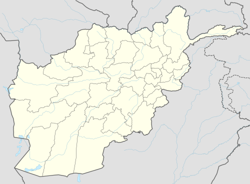
 Gurziwan Location within Afghanistan[1] | |
| Coordinates: 35°38′N 65°17′E / 35.63°N 65.28°E | |
| Country |
|
| Province | Faryab Province |
| Area | |
| • Total | 1,875 km2 (724 sq mi) |
| Population (2009)[2] | |
| • Total | 54,600 |
Gurziwan is a district in Faryab Province, Afghanistan. It was created in 2005 from part of Bilchiragh District.
From 24 April and 7 May 2014, flash flooding from heavy rainfall resulted in the destruction of public facilities, roads, and agricultural land. Within the villages of Jar Qala, Gawaki, Dehmiran, Pakhalsoz, Chaghatak, Dongqala, Darezang, Sar chakan, and Qale khoja, 54 families were affected, 1 person died, 289 livestock were killed, 2,000 gardens were damaged, and 1,000 Jeribs of agricultural land was damaged/destroyed.[3]
External links
- Summary of District Development Plan August 2006
References
- ↑ "District Names". National Democratic Institute. Retrieved 29 September 2015.
- ↑ "Afghanistan Election Data". National Democratic Institute. Retrieved 29 September 2015.
- ↑ "Afghanistan Flash Flood Situation Report" (PDF). International Organization for Migration. Retrieved 1 October 2015.
This article is issued from
Wikipedia.
The text is licensed under Creative Commons - Attribution - Sharealike.
Additional terms may apply for the media files.