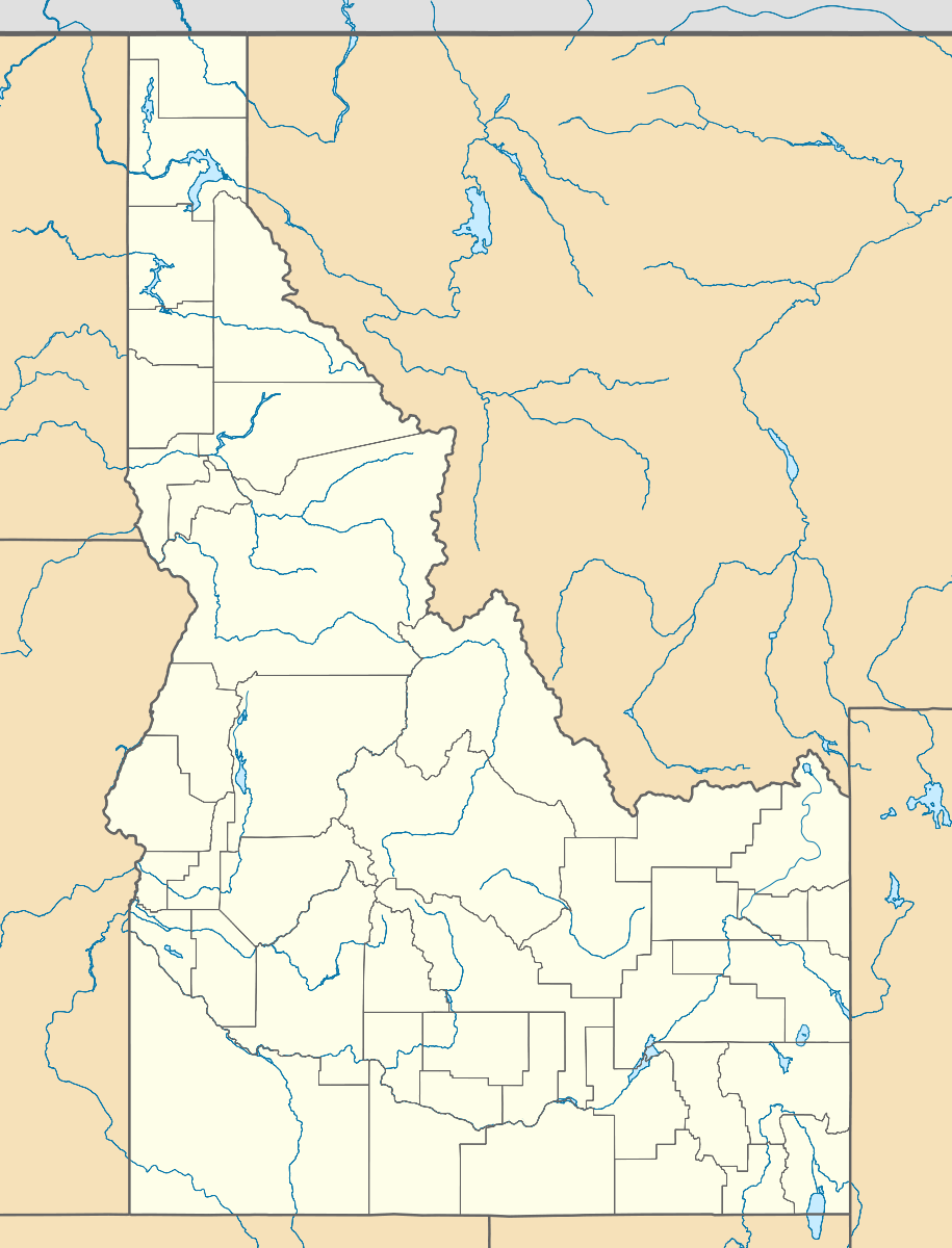
Greer, Idaho
| Greer, Idaho | |
|---|---|
| Unincorporated community | |
 Greer, Idaho  Greer, Idaho | |
| Coordinates: 46°23′24″N 116°10′31″W / 46.39000°N 116.17528°WCoordinates: 46°23′24″N 116°10′31″W / 46.39000°N 116.17528°W | |
| Country | United States |
| State | Idaho |
| County | Clearwater |
| Elevation | 1,102 ft (336 m) |
| Time zone | Pacific (PST) (UTC-8) |
| • Summer (DST) | PDT (UTC-7) |
| Area code(s) | 208 |
| GNIS feature ID | 396591[1] |
Greer is an unincorporated community in Clearwater County, Idaho, on the Nez Perce Indian Reservation. Greer is located along the Clearwater River and Idaho State Highway 11, near the junction with U.S. Route 12 (also known as the Northwest Passage Scenic Byway), 7 miles (11 km) southeast of Orofino.
The serpentine Highway 11 gains over 2,000 feet (600 m) in elevation up the canyon grade to the Weippe Prairie, where the starving Lewis and Clark Expedition first met the Nez Perce in September 1805, south of present-day Weippe.
The former unincorporated community of Fraser was located about 3 miles (5 km) west of Greer.[2]
References
This article is issued from
Wikipedia.
The text is licensed under Creative Commons - Attribution - Sharealike.
Additional terms may apply for the media files.