Great Cowden
| Great Cowden | |
|---|---|
 Great Cowden | |
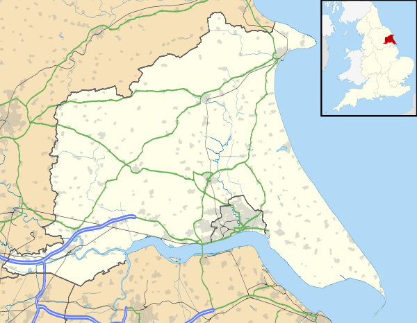
| Great Cowden shown within the East Riding of Yorkshire | |
| OS grid reference | TA230427 |
| • London | 160 mi (260 km) S |
| Civil parish | |
| Unitary authority | |
| Ceremonial county | |
| Region | |
| Country | England |
| Sovereign state | United Kingdom |
| Post town | HULL |
| Postcode district | HU11 |
| Dialling code | 01964 |
| Police | Humberside |
| Fire | Humberside |
| Ambulance | Yorkshire |
| EU Parliament | Yorkshire and the Humber |
| UK Parliament | |
Great Cowden is a hamlet in the East Riding of Yorkshire, England, in an area known as Holderness. It is situated approximately 3 miles (5 km) south of Hornsea and lies just east of the B1242 road on the North Sea coast.

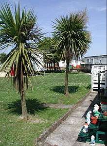
Caravan park near Great Cowden
Great Cowden forms part of the civil parish of Mappleton.
In 1823 Cowden (as Great and Little Cowden) was also known as 'Coldon', and was in the parish of Mappleton. The parish incumbent's living was under the patronage of the King, although at the time the parish church had been swallowed by the sea. Population was 146, with occupations including eleven farmers.[1]
References
- ↑ Baines, Edward (1823): History, Directory and Gazetteer of the County of York, p. 192
- Gazetteer – A–Z of Towns Villages and Hamlets. East Riding of Yorkshire Council. 2006. p. 6.
External links
 Media related to Great Cowden at Wikimedia Commons
- Great Cowden in the Domesday Book
This article is issued from
Wikipedia.
The text is licensed under Creative Commons - Attribution - Sharealike.
Additional terms may apply for the media files.