Gammelstad Church Town
 Gammelstad Church Town | |
| UNESCO World Heritage Site | |
|---|---|
| Location |
Gammelstaden, Q10595639[1], Luleå Municipality[1], Sweden[1] |
| Coordinates | 65°38′46″N 22°01′43″E / 65.64611°N 22.02861°E |
| Includes |
house Nederluleå Church |
| Criteria |
Cultural: (ii), (iv), (v) |
| Reference | 762 |
| Inscription | 1996 (20th Session) |
| Website |
www |
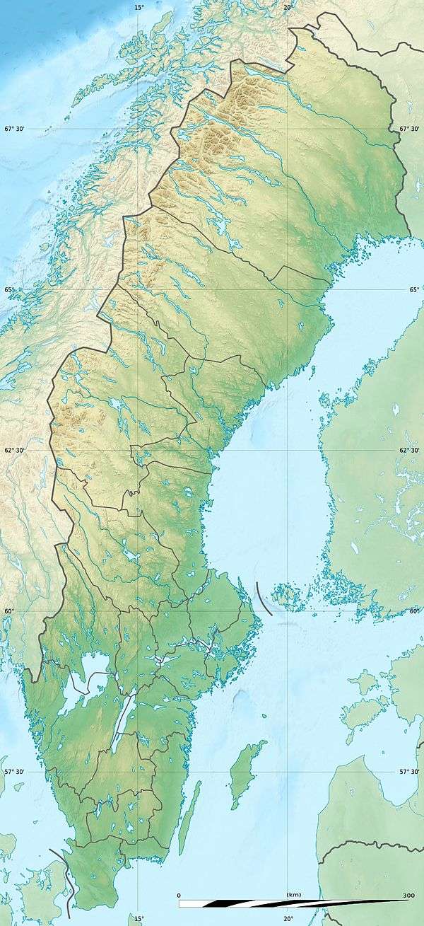
 Location of Gammelstad Church Town | |
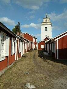
Gammelstad Church Town (Swedish: Gammelstads kyrkstad) is a UNESCO World Heritage Site situated in Gammelstaden near the city of Luleå, Sweden, at the northern end of the Gulf of Bothnia. It is the best preserved example of a type of town that was once widespread throughout northern Scandinavia. As Church Village of Gammelstad, Luleå, it was listed as a World Heritage Site in 1996.
The town is located about 10 kilometers upstream the Lule River. At its centre is the 15th-century Nederluleå Church surrounded by 424 wood-built houses. The houses were only used on Sundays and during religious festivals to accommodate worshipers from the surrounding countryside who could not return home the same day because of the distance and difficult traveling conditions.[3]
Because the buildings are built from timber, regular maintenance is required to prevent rot; surveys have been carried out to document the extent of existing rotting, and snow is cleared regularly during the winter.[4]
Gallery
- Gammelstad church town near Lulea
 World Heritage Site Gammelstad near Luleå
- Gammelstad town map hoarding at the entrance
 Gammelstad town map
References
- 1 2 3 https://tools.wmflabs.org/heritage/api/api.php?action=search&format=json&srcountry=se-fornmin&srlanguage=sv&srid=10018503300001; Monuments database; publication date: 16 April 2017.
- 1 2 "Church Town of Gammelstad, Luleå". Retrieved 30 April 2017.
- ↑ Fast, April; Thomas, Keltie (2004). Sweden: The Culture. Crabtree Publishing Company. p. 20. ISBN 077879329X.
- ↑ Kaslegard, Anne (2011). Climate Change and Cultural Heritage in the Nordic Countries. Nordic Council of Ministers. p. 16. ISBN 9289321954.
External links
| Wikimedia Commons has media related to Gammelstads kyrkstad. |
Coordinates: 65°38′45″N 22°01′45″E / 65.64583°N 22.02917°E