Fria Airport
| Fria Airport | |||||||||||
|---|---|---|---|---|---|---|---|---|---|---|---|
| Summary | |||||||||||
| Airport type | Public | ||||||||||
| Serves | Fria, Guinea | ||||||||||
| Elevation AMSL | 499 ft / 152 m | ||||||||||
| Coordinates | 10°21′02″N 13°34′09″W / 10.35056°N 13.56917°WCoordinates: 10°21′02″N 13°34′09″W / 10.35056°N 13.56917°W | ||||||||||
| Map | |||||||||||
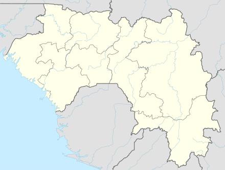 GUFA Location of airport in Guinea | |||||||||||
| Runways | |||||||||||
| |||||||||||
Fria Airport (IATA: FIG, ICAO: GUFA) is an airport serving Fria,[1] a town and prefecture in the Boke Region in the Republic of Guinea.
Facilities
The airport resides at an elevation of 499 feet (152 m) above mean sea level. It has one runway designated 06/24 with an asphalt surface measuring 1,600 by 40 metres (5,249 ft × 131 ft).[1]
References
- 1 2 3 Airport information for GUFA from DAFIF (effective October 2006)
- ↑ Airport information for FIG at Great Circle Mapper. Source: DAFIF (effective October 2006).
External links
This article is issued from
Wikipedia.
The text is licensed under Creative Commons - Attribution - Sharealike.
Additional terms may apply for the media files.