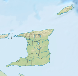
El Tucuche
| El Tucuche | |
|---|---|
 El Tucuche | |
| Highest point | |
| Elevation | 936 m (3,071 ft) |
| Prominence | 526 m (1,726 ft) [1] |
| Listing | Country high point |
| Coordinates | 10°44′00″N 61°25′00″W / 10.73333°N 61.41667°WCoordinates: 10°44′00″N 61°25′00″W / 10.73333°N 61.41667°W |
| Geography | |
 El Tucuche Maracas Valley, Tunapuna-Piarco, Trinidad | |
| State | Trinidad and Tobago |
| Parent range | Northern Range |
El Tucuche (936 m) is the second highest peak in Trinidad's northern range and is noted for its interesting plateau shape. It is fabled in Amerindian lore as a sacred mountain. There are Amerindian petroglyphs on a rock outcrop below the mountain. These are the only petroglyphs found in the country .
Its summit is home to the Golden Tree Frog (Phyllodytes auratus). On the summit of El Tucuche, elfin woodland can be found. The vegetation is usually gnarled and short, due to the high elevation, exposure to clouds and prevailing winds. At the foot of the mountain lies the village of Lluengo, home to some 2,000 residents.
El Tucuche displays a wide array of wildlife. Animals such as the Howler monkey can be seen. The nation's highest waterfall, Maracas falls, lies at the foothills of El Tucuche, and is 91.5 meters (300 feet) high.
El Tucuche is a popular mountain and is often climbed by many hikers. There are two summits, the first summit ascends to above 2,000 feet (800 meters) and displays a 1000 feet sheer-vertical cliff. The second and highest summit is at over 3,000 feet (936 meters) and is plateau-shaped. When clouds aren't present, the nation's capital, Port Of Spain, the Caroni Swamp and Central Range can be viewed from the summit. The mountain also offers spectacular views of Maracas Beach, one of Trinidad's most iconic beaches.