Donville-les-Bains
| Donville-les-Bains | |
|---|---|
| Commune | |
|
The beach at Donville-les-Bains | |
 Donville-les-Bains | |
|
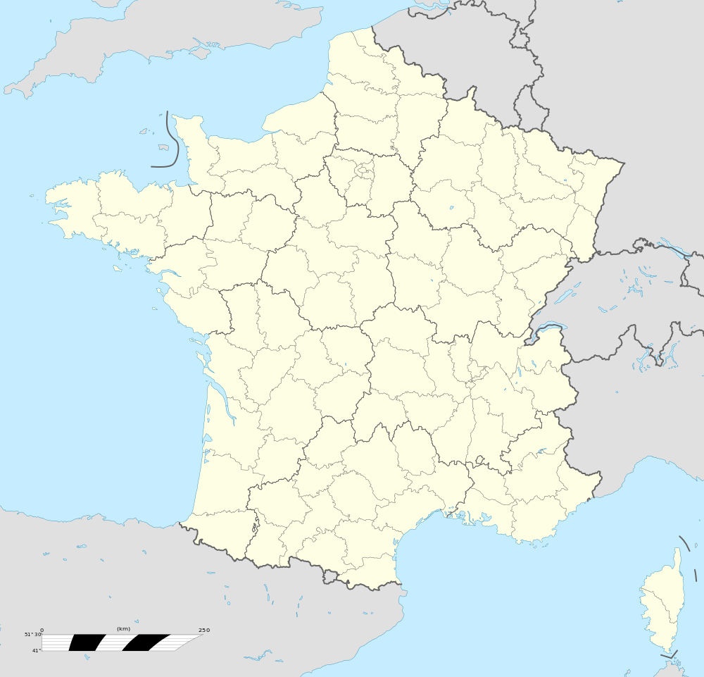
Location within Normandy region  Donville-les-Bains | |
| Coordinates: 48°50′48″N 1°34′52″W / 48.8467°N 1.581°WCoordinates: 48°50′48″N 1°34′52″W / 48.8467°N 1.581°W | |
| Country | France |
| Region | Normandy |
| Department | Manche |
| Arrondissement | Avranches |
| Canton | Granville |
| Intercommunality | Communauté de communes du Pays granvillais |
| Government | |
| • Mayor (2008–2014) | Jean-Paul Launay |
| Area1 | 2.75 km2 (1.06 sq mi) |
| Population (2006)2 | 3,309 |
| • Density | 1,200/km2 (3,100/sq mi) |
| Time zone | CET (UTC+1) |
| • Summer (DST) | CEST (UTC+2) |
| INSEE/Postal code | 50165 /50350 |
| Elevation | 0–68 m (0–223 ft) |
| Website | www.ville-donville-les-bains.fr |
|
1 French Land Register data, which excludes lakes, ponds, glaciers > 1 km² (0.386 sq mi or 247 acres) and river estuaries. 2 Population without double counting: residents of multiple communes (e.g., students and military personnel) only counted once. | |

Donville-les-Bains is a commune in the Manche department in northwestern France.
Introduction
Donville-les-Bains is located just outside Granville, a port on the Norman coast noted for ferry traffic to the Channel Islands. Rail service is available from Granville to Paris on a regular basis provided by SNCF, the French National Railway.
The town is also the origin of the English language surname Dunville (originally Donville), which is found throughout the UK and former British colonies. People descended from this Norman line can be found in concentrations around Toronto, Thunder Bay, Chicago, Detroit, St. Louis, and South Carolina. (However, Dunville, Newfoundland was not named after Donville-les-Bains; Dunville was named after the founding Dunphy family.)
Heraldry
 |
The arms of Donville-les-Bains are blazoned : Gules, a sea-horse [i.e. a mythical hippocampus], and in chief a sun of 8 points Or. |
See also
| Wikimedia Commons has media related to Donville-les-Bains. |