Burton Fleming
| Burton Fleming | |
|---|---|
Apr2006.jpg) Burton Fleming, looking south from the Church gate | |
 Burton Fleming | |
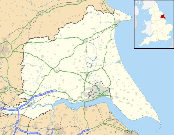
| Burton Fleming shown within the East Riding of Yorkshire | |
| Population | 430 (2011 census)[1] |
| OS grid reference | TA083722 |
| • London | 160 mi (260 km) S |
| Civil parish |
|
| Unitary authority | |
| Ceremonial county | |
| Region | |
| Country | England |
| Sovereign state | United Kingdom |
| Post town | DRIFFIELD |
| Postcode district | YO25 |
| Dialling code | 01262 |
| Police | Humberside |
| Fire | Humberside |
| Ambulance | Yorkshire |
| EU Parliament | Yorkshire and the Humber |
| UK Parliament | |
Burton Fleming is a village and civil parish in the East Riding of Yorkshire, England. It lies close to the border with North Yorkshire. The village is situated approximately 7 miles (11 km) north-west of Bridlington and 6 miles (10 km) south of Filey.
.JPG)
Burton Fleming was earlier known as North Burton.[2]
According to the 2011 UK census, Burton Fleming parish had a population of 430,[1] an increase on the 2001 UK census figure of 363.[3]
The village is noted for the house where Queen Henrietta Maria was sent into hiding during the English Civil War.[2] A significant British Iron Age cemetery—Burton Fleming archaeological site—consisting of 64 barrows forming part of the Arras Culture of the East Riding of Yorkshire was excavated here in the 1970s.[4]
The village Grade II* listed Anglican church is dedicated to St Cuthbert.[5] Dating from the 12th century, it previously had a Norman aisle to its nave; the aisle arcades are now evident as part of the exterior wall. The church retains a Norman south doorway and west tower.[6]
.jpg)
The Gypsey Race flows through the village and through other neighbouring villages such as Wold Newton. In 2012 the village suffered serious flooding from the Gypsey Race.[7]
Burton Fleming has a public house, the Burton Arms, and a butcher's shop.
In March 2017, the village declared itself "hedgehog friendly".[8][9]
See also
References
- 1 2 "Key Figures for 2011 Census: Key Statistics: Area: Burton Fleming CP (Parish)". Neighbourhood Statistics. Office for National Statistics. Retrieved 3 February 2013.
- 1 2 "BURTON FLEMING:". Bulmer's History and Directory of East Yorkshire 1892. Retrieved 23 December 2015 – via Genuki.
- ↑ "2001 Census: Key Statistics: Parish Headcounts: Area: Burton Fleming CP (Parish)". Neighbourhood Statistics. Office for National Statistics. Retrieved 15 May 2008.
- ↑ Stead, I. (1991). Iron Age Cemeteries in East Yorkshire. London: English Heritage. ISBN 1850743517.
- ↑ Historic England. "Church of St Cuthbert (1083394)". National Heritage List for England. Retrieved 16 April 2012.
- ↑ Pevsner, Nikolaus (1975) [1972]. The Buildings of England. Yorkshire: York and the East Riding. Pevsner Architectural Guides (reprint). Penguin. p. 212. ISBN 0140710434.
- ↑ "Residents still hit by flooding in Burton Fleming". BBC News. BBC. 28 December 2012. Retrieved 20 October 2013.
- ↑ "Burton Fleming declared 'hedgehog-friendly' village". BBC News. 28 March 2017. Retrieved 22 April 2017.
- ↑ "The village that made itself hedgehog friendly". BBC News. 22 April 2017. Retrieved 22 April 2017.
- Gazetteer — A–Z of Towns Villages and Hamlets. East Riding of Yorkshire Council. 2006. p. 4.
External links
 Media related to Burton Fleming at Wikimedia Commons
- Burton Fleming in the Domesday Book