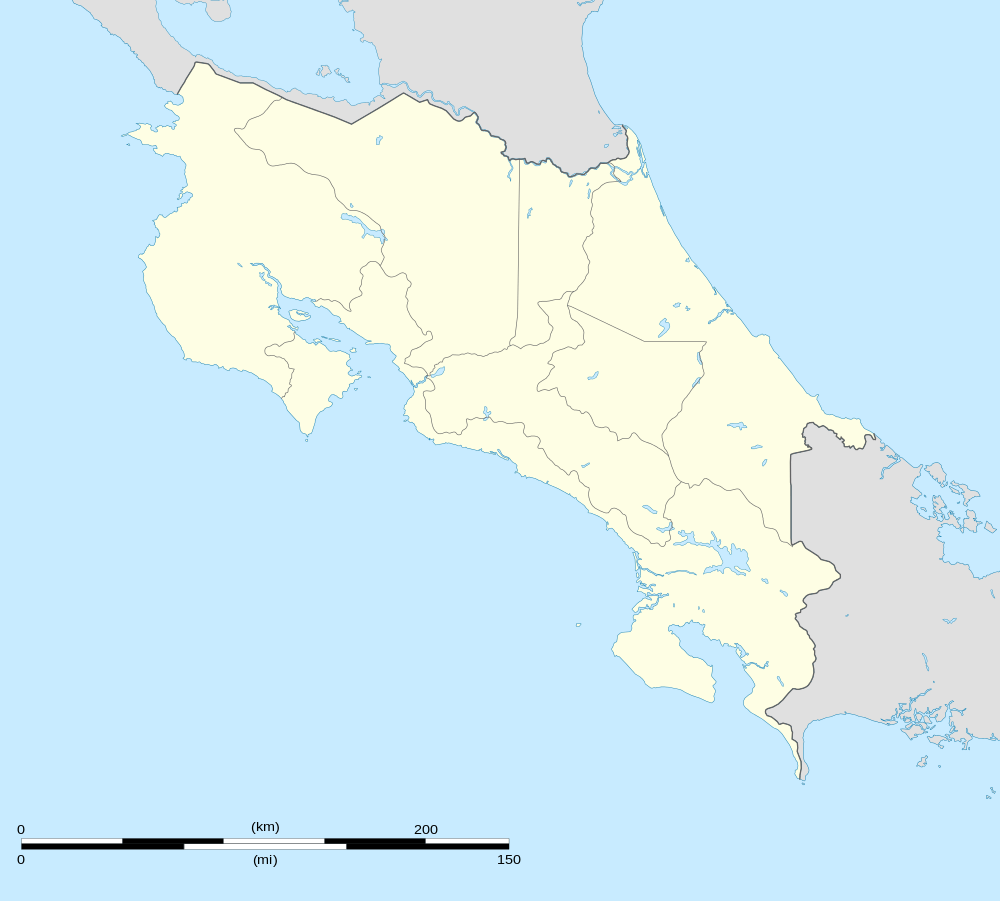
Buenavista de San Carlos, Costa Rica
| Buenavista | |
|---|---|
| District | |
 Buenavista | |
| Coordinates: 10°16′31″N 84°27′37″W / 10.27528°N 84.46028°WCoordinates: 10°16′31″N 84°27′37″W / 10.27528°N 84.46028°W | |
| Country |
|
| Province | Alajuela |
| Canton | San Carlos |
| Area | |
| • Total | 37.37 km2 (14.43 sq mi) |
| Elevation | 500-900 m (−2,500 ft) |
| Population (2011) | |
| • Total | 325 |
| • Density | 8.7/km2 (23/sq mi) |
| Time zone | UTC−06:00 |
Buenavista is the name of the district number 3 of the Canton of San Carlos, which in turn belongs to the province of Alajuela in Costa Rica.
Location
It is located in the northern region of the country and borders with 2 districts; Florencia to the N / NO, Quesada to the N / NE. While to the south it borders with the canton of Alfaro Ruiz.
Its head, the town of Buenavista, is located 13.3 Km (35 minutes) to the NW of Ciudad Quesada and 94.9 Km (2 hours 37 minutes) to the NW of San Jose, the nation's capital.
Geography
Buenavista has an area of 37.37 km², which makes it the smallest district in the canton by area.
It is located at an elevation of between 500 and 900 meters above sea level.
The grounds of Buenavista are distinguished by being very broken, with a type of steep soil and steep slopes.
Demography
Buenavista is one of the districts with the lowest number of inhabitants of the country, it has about 325 inhabitants.[1]
Buenavista has five population centers:
- Buenavista (head of the district)
- San Bosco
- San Antonio
- La Quina
- La Culebra
Economy
This is a special place for dairy farming.
It also has a health post and a school and only a grocery store.
It has very little infrastructure, the majority are houses of room.
Through the installation of a hydroelectric project, the community managed to increase its economic and communal development.
Thanks to the construction of the new San Carlos-San Ramón highway, Buena Vista will become a more crowded region.
See also
- District of Quesada
- District of Florencia
- District of Aguas Zarcas
- District of Venecia
- District of Pital
- District of La Fortuna
- District of La Tigra
- District of La Palmera
- District of Venado
- District of Cutris
- District of Monterrey
- District of Pocosol
References
- ↑ "2011 Census Population Report" (pdf). INEC.