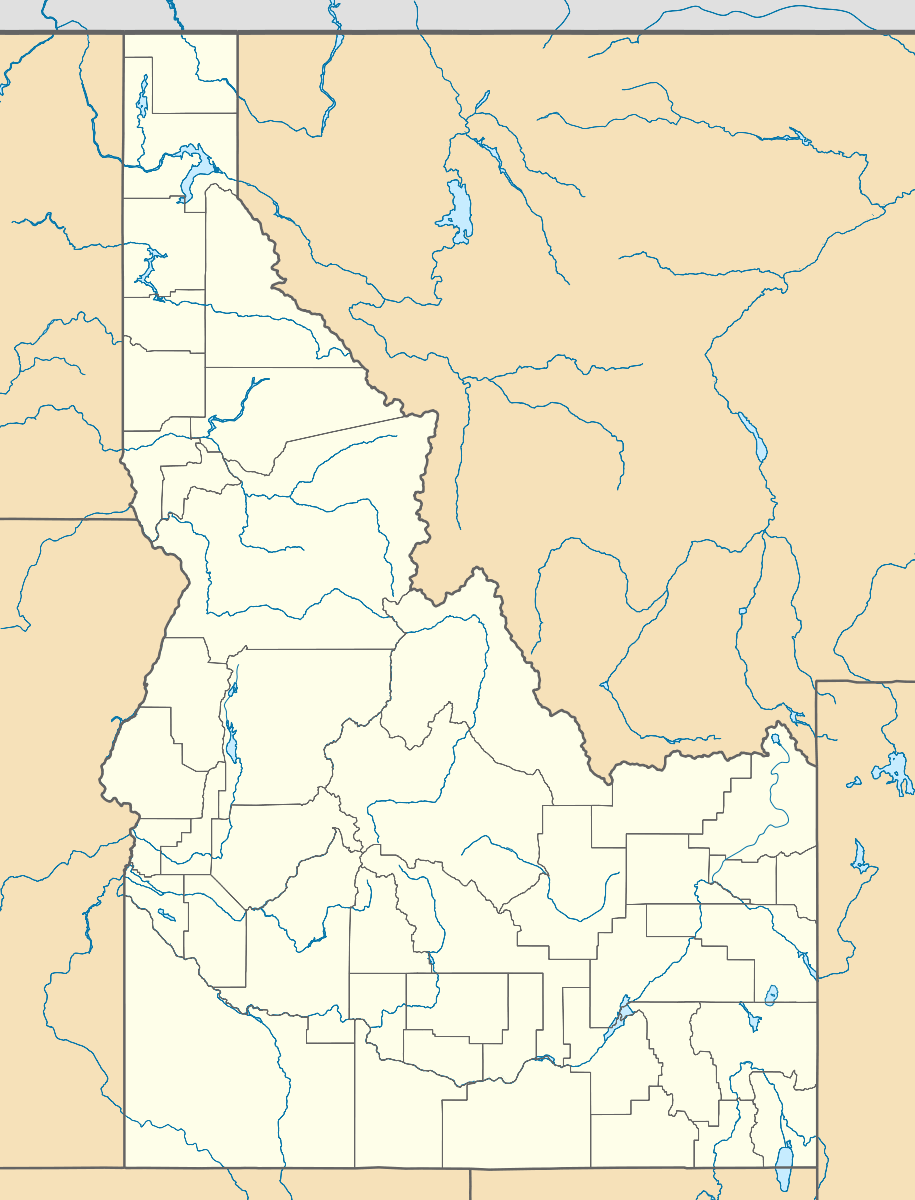
Bromaghin Peak
| Bromaghin Peak | |
|---|---|
 Bromaghin Peak Blaine County, Idaho, U.S. | |
| Highest point | |
| Elevation | 10,225 ft (3,117 m) [1] |
| Prominence | 185 ft (56 m) [1] |
| Coordinates | 43°49′50″N 114°43′09″W / 43.830461°N 114.7192323°WCoordinates: 43°49′50″N 114°43′09″W / 43.830461°N 114.7192323°W [2] |
| Geography | |
| Location | Blaine County, Idaho, U.S. |
| Parent range | Smoky Mountains |
| Topo map | USGS Galena |
| Climbing | |
| Easiest route | Scramble, class 3 |
Bromaghin Peak, at 10,225 feet (3,117 m) above sea level is the fourth highest peak in the Smoky Mountains of Idaho. The peak is in Sawtooth National Recreation Area about 0.6 miles (0.97 km) north-northwest of the range's highest point, Saviers Peak. The peak is named for Captain Ralph Bromaghin, who was a member of the 10th Mountain Division and a Sun Valley ski instructor who died in World War II.[3][4]
References
- 1 2 "Bromaghin Peak, Idaho". Peakbagger.com. Retrieved December 19, 2012.
- ↑ "Bromaghin Peak". Geographic Names Information System. United States Geological Survey. Retrieved December 19, 2012.
- ↑ Sawtooth National Forest (Map) (1998 ed.). Sawtooth National Forest, U.S. Forest Service.
- ↑ "Bromaghin Peak". SummitPost.org. Retrieved December 19, 2012.
This article is issued from
Wikipedia.
The text is licensed under Creative Commons - Attribution - Sharealike.
Additional terms may apply for the media files.