Bowring, Oklahoma
| Bowring | |
|---|---|
| Unincorporated community | |
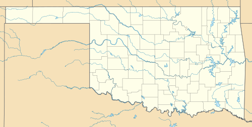 Bowring  Bowring Location within the state of Oklahoma | |
| Coordinates: 36°52′41″N 96°7′12″W / 36.87806°N 96.12000°WCoordinates: 36°52′41″N 96°7′12″W / 36.87806°N 96.12000°W | |
| Country | United States |
| State | Oklahoma |
| County | Osage |
| Time zone | Central (CST) (UTC-6) |
| • Summer (DST) | CDT (UTC-5) |
Bowring is a small unincorporated community in Osage County, Oklahoma. The post office was established November 12, 1923. It is said to have been named from the combination of the names of two local ranchers, Mart Bowhan and Richard Woodring.
Geography
Climate
| Climate data for Bowring, Oklahoma | |||||||||||||
|---|---|---|---|---|---|---|---|---|---|---|---|---|---|
| Month | Jan | Feb | Mar | Apr | May | Jun | Jul | Aug | Sep | Oct | Nov | Dec | Year |
| Average high °F (°C) | 46.1 (7.8) |
52.1 (11.2) |
62.6 (17) |
73.6 (23.1) |
79.7 (26.5) |
87.2 (30.7) |
93.3 (34.1) |
92.8 (33.8) |
84.3 (29.1) |
74.5 (23.6) |
60.5 (15.8) |
49.1 (9.5) |
71.3 (21.8) |
| Average low °F (°C) | 22 (−6) |
26.9 (−2.8) |
36.5 (2.5) |
47.7 (8.7) |
56.2 (13.4) |
65 (18) |
69.8 (21) |
67.6 (19.8) |
60.3 (15.7) |
47.9 (8.8) |
36.7 (2.6) |
26 (−3) |
46.9 (8.3) |
| Average precipitation inches (mm) | 1.3 (33) |
1.8 (46) |
3.3 (84) |
3.3 (84) |
4.8 (122) |
4.5 (114) |
3.2 (81) |
3.6 (91) |
4.9 (124) |
3.2 (81) |
2.8 (71) |
1.7 (43) |
38.4 (975) |
| Source: Weatherbase.com [1] | |||||||||||||
References
Sources
- Shirk, George H. Oklahoma Place Names. Norman: University of Oklahoma Press, 1987. ISBN 0-8061-2028-2 .
This article is issued from
Wikipedia.
The text is licensed under Creative Commons - Attribution - Sharealike.
Additional terms may apply for the media files.