Bowden, Oklahoma
| Bowden | |
|---|---|
| Unincorporated community | |
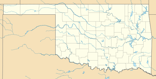
 Bowden  Bowden Location within the state of Oklahoma | |
| Coordinates: 36°03′46″N 96°05′14″W / 36.06278°N 96.08722°WCoordinates: 36°03′46″N 96°05′14″W / 36.06278°N 96.08722°W | |
| Country | United States |
| State | Oklahoma |
| County | Creek |
| Elevation | 774 ft (236 m) |
| Time zone | Central (CST) (UTC-6) |
| • Summer (DST) | CDT (UTC-5) |
| GNIS feature ID | 1090424 |
Bowden is an unincorporated community in Creek County, Oklahoma.[1] A post office operated in Bowden from June 9, 1909 to November 1, 1957.[2] It is located four miles north of Sapulpa.[2] The community was named after Sapulpa merchant Rollandus A. Bowden.[2] It was formerly known as Taneha.[3] It developed as a boom town after the discovery of the Glenn Pool Oil Field.[3] but today is a small town by Oklahoma standard's with around 225 people and is bisected by 433rd west ave and west 41st South road.
References
- ↑ U.S. Geological Survey Geographic Names Information System: Bowden, Oklahoma
- 1 2 3 Shirk, George H. Oklahoma Place Names, Norman, Oklahoma: University of Oklahoma Press, 2nd ed., 1987, p.29.
- 1 2 Weaver, Bobby D. "Glenn Pool Field" Encyclopedia of Oklahoma History and Culture, Oklahoma Historical Society. Accessed February 15, 2016.
This article is issued from
Wikipedia.
The text is licensed under Creative Commons - Attribution - Sharealike.
Additional terms may apply for the media files.
