Border Region
Coordinates: 53°57′48.5″N 7°21′26.8″W / 53.963472°N 7.357444°W
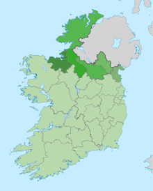
The Border Region is a NUTS Level III statistical region of Ireland. It comprises the territory of counties Cavan, Donegal, Leitrim, Louth, Monaghan and Sligo. The Border Region spans 12,156 km2, 17.3% of the total area of the state and has a population in excess of 432,500.[1][2] Its NUTS code is IE011.
Prior to 2014, the region was governed by the Border Regional Assembly. Statutory instrument No. 573/2014 abolished that assembly.[3][4] Since that date, the association between Regional Assemblies and NUTS regions has ceased. The NUTS regions are used for statistical reporting to Eurostat, while the Regional Assemblies are responsible for planning at a local government level.
The region's largest town is Drogheda which also has extensive links with the Mid-East Region.
Geography
The region stretches from the Atlantic Ocean in the west to the Irish Sea in the east. Two of Ireland's longest rivers, the Shannon and the Erne have their source here and have been connected to form one of the world's longest waterways - the Shannon–Erne Waterway. The region has a large rural landscape with many distinctive geographical features.[1] There are many large mountain ranges and high sea cliffs in Donegal, such as Derryveagh Mountains and Slieve League. The region contains two of Ireland's three fjords: Lough Swilly in County Donegal and Carlingford Lough in County Louth.
Former Regional Authority
The Border region was administered by the Border Regional Authority, which consisted of 38 elected representatives including the region's representative on the EU Committee of the Regions. These representatives met once a month and were nominated from the six local government councils of the region:[1]
- Donegal County Council
- Louth County Council
- Cavan County Council
- Monaghan County Council
- Sligo County Council
- Leitrim County Council
The Regional Authorities were dissolved in 2014 and were replaced by Regional Assemblies.[3]
Economy
According to Eurostat figures for 2012, the region has GDP of €10.795 bn and a GDP per capita of €21,100 (the second lowest in the Republic, the lowest being The Midlands region at €20,100).[5]
Major settlements
A list of the ten largest settlements in the Border region. County capitals are included and are shown in bold.
| Rank | Town | County | Population (2011 census) |
Image |
|---|---|---|---|---|
| 1 | Drogheda | Louth | 40,956[6] | 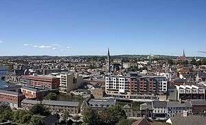 |
| 2 | Dundalk | Louth | 39,004[7] |  |
| 3 | Letterkenny | Donegal | 19,274[8] | 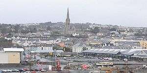 |
| 4 | Sligo | Sligo | 19,199[9] |  |
| 5 | Cavan | Cavan | 10,914 |  |
| 6 | Monaghan | Monaghan | 7,678 |  |
| 7 | Buncrana | Donegal | 6,785 |  |
| 8 | Ardee | Louth | 4,928 | 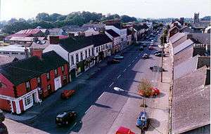 |
| 9 | Carrickmacross | Monaghan | 5,032 | 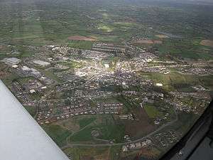 |
| 10 | Ballybofey-Stranorlar | Donegal | 4,852 |  |
References
- 1 2 3 Irish Region Office - Regions of Ireland: Border Region Archived July 19, 2011, at the Wayback Machine.
- ↑ Border Regional Authority - Profile of the Region
- 1 2 http://www.irishstatutebook.ie/2014/en/si/0228.html
- ↑ Statutory Instrument 573/2014
- ↑ "Archived copy". Archived from the original on 2014-10-06. Retrieved 2011-10-19.
- ↑ "Settlement Drogheda Legal Town And Its Environs". Central Statistics Office. 2011. Archived from the original on 14 July 2014. Retrieved 23 April 2014.
- ↑ "Settlement Dundalk Legal Town And Its Environs". Central Statistics Office. 2011. Archived from the original on 29 October 2014. Retrieved 23 April 2014.
- ↑ http://census.cso.ie/sapmap2011/Results.aspx?Geog_Type=ST&Geog_Code=33037
- ↑ http://census.cso.ie/sapmap2011/Results.aspx?Geog_Type=ST&Geog_Code=31004