Bathernay
| Bathernay | |
|---|---|
| Commune | |
|
The church of Saint-Étienne, in Bathernay | |
 Bathernay | |
|
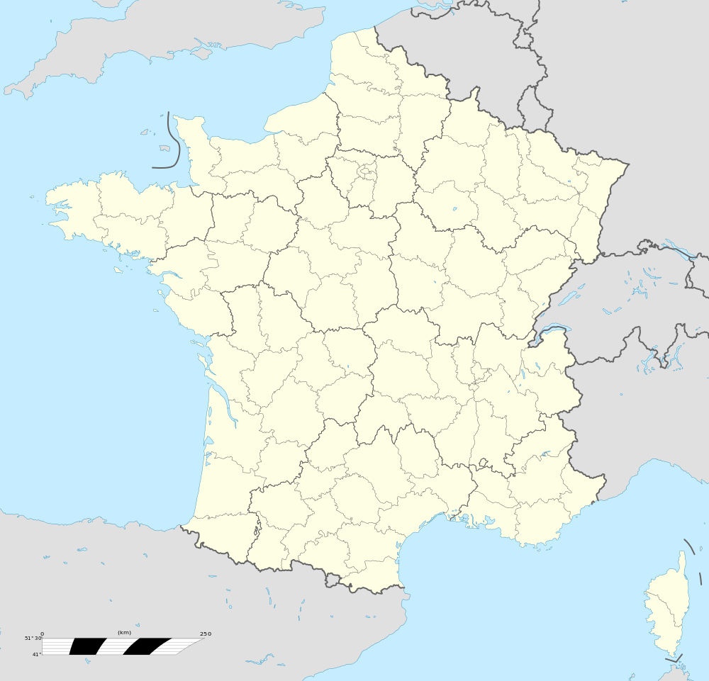
Location within Auvergne-Rhône-Alpes region  Bathernay | |
| Coordinates: 45°10′49″N 4°59′42″E / 45.1803°N 4.995°ECoordinates: 45°10′49″N 4°59′42″E / 45.1803°N 4.995°E | |
| Country | France |
| Region | Auvergne-Rhône-Alpes |
| Department | Drôme |
| Arrondissement | Valence |
| Canton | Drôme des collines |
| Intercommunality | Pays de l'Herbasse |
| Government | |
| • Mayor (2014–2020) | Françoise Ducros |
| Area1 | 5.71 km2 (2.20 sq mi) |
| Population (2008)2 | 238 |
| • Density | 42/km2 (110/sq mi) |
| Time zone | CET (UTC+1) |
| • Summer (DST) | CEST (UTC+2) |
| INSEE/Postal code | 26028 /26260 |
| Elevation |
267–466 m (876–1,529 ft) (avg. 450 m or 1,480 ft) |
|
1 French Land Register data, which excludes lakes, ponds, glaciers > 1 km² (0.386 sq mi or 247 acres) and river estuaries. 2 Population without double counting: residents of multiple communes (e.g., students and military personnel) only counted once. | |

Bathernay is a commune in the Drôme department in southeastern France.
Population
| Historical population | ||
|---|---|---|
| Year | Pop. | ±% |
| 1911 | 207 | — |
| 1962 | 143 | −30.9% |
| 1968 | 165 | +15.4% |
| 1975 | 154 | −6.7% |
| 1982 | 154 | +0.0% |
| 1990 | 191 | +24.0% |
| 1999 | 205 | +7.3% |
| 2008 | 238 | +16.1% |
See also
References
| Wikimedia Commons has media related to Bathernay. |
This article is issued from
Wikipedia.
The text is licensed under Creative Commons - Attribution - Sharealike.
Additional terms may apply for the media files.