Aubevoye
| Aubevoye | |
|---|---|
 | |
 Aubevoye | |
|
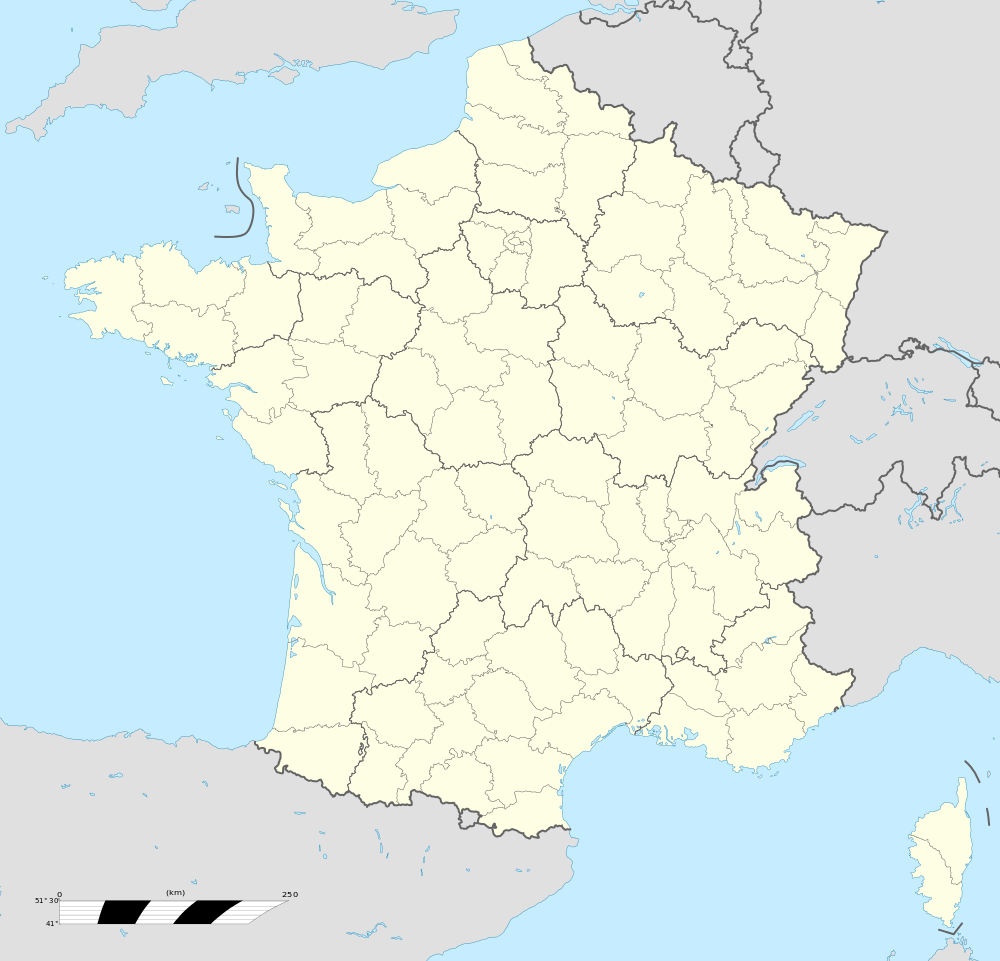
Location within Normandy region  Aubevoye | |
| Coordinates: 49°10′28″N 1°20′07″E / 49.1744°N 1.3353°ECoordinates: 49°10′28″N 1°20′07″E / 49.1744°N 1.3353°E | |
| Country | France |
| Region | Normandy |
| Department | Eure |
| Arrondissement | Les Andelys |
| Canton | Gaillon |
| Intercommunality | Eure-Madrie-Seine |
| Government | |
| • Mayor (2008–2014) | Jean-Luc Recher |
| Area1 | 7.63 km2 (2.95 sq mi) |
| Population (2008)2 | 4,545 |
| • Density | 600/km2 (1,500/sq mi) |
| Time zone | CET (UTC+1) |
| • Summer (DST) | CEST (UTC+2) |
| INSEE/Postal code | 27022 /27940 |
| Elevation |
8–129 m (26–423 ft) (avg. 20 m or 66 ft) |
|
1 French Land Register data, which excludes lakes, ponds, glaciers > 1 km² (0.386 sq mi or 247 acres) and river estuaries. 2 Population without double counting: residents of multiple communes (e.g., students and military personnel) only counted once. | |
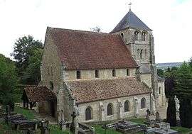
Aubevoye is a former commune in the Eure department in Normandy in northern France. On 1 January 2016, it was merged into the new commune of Le Val-d'Hazey.[1]
Population
| Historical population | ||
|---|---|---|
| Year | Pop. | ±% |
| 1793 | 660 | — |
| 1800 | 581 | −12.0% |
| 1806 | 536 | −7.7% |
| 1821 | 513 | −4.3% |
| 1831 | 473 | −7.8% |
| 1836 | 516 | +9.1% |
| 1841 | 523 | +1.4% |
| 1846 | 552 | +5.5% |
| 1851 | 523 | −5.3% |
| 1856 | 506 | −3.3% |
| 1861 | 556 | +9.9% |
| 1866 | 550 | −1.1% |
| 1872 | 505 | −8.2% |
| 1876 | 507 | +0.4% |
| 1881 | 506 | −0.2% |
| 1886 | 487 | −3.8% |
| 1891 | 500 | +2.7% |
| 1896 | 587 | +17.4% |
| 1901 | 586 | −0.2% |
| 1906 | 633 | +8.0% |
| 1911 | 651 | +2.8% |
| 1921 | 772 | +18.6% |
| 1926 | 931 | +20.6% |
| 1931 | 1,124 | +20.7% |
| 1936 | 1,090 | −3.0% |
| 1946 | 1,214 | +11.4% |
| 1954 | 1,345 | +10.8% |
| 1962 | 1,671 | +24.2% |
| 1968 | 1,707 | +2.2% |
| 1975 | 2,188 | +28.2% |
| 1982 | 2,632 | +20.3% |
| 1990 | 3,879 | +47.4% |
| 1999 | 3,817 | −1.6% |
| 2008 | 4,545 | +19.1% |
See also
References
- ↑ Arrêté préfectoral 17 December 2015 (in French)
| Wikimedia Commons has media related to Aubevoye. |
This article is issued from
Wikipedia.
The text is licensed under Creative Commons - Attribution - Sharealike.
Additional terms may apply for the media files.