Atahualpa Airport
| Atahualpa Airport | |||||||||||
|---|---|---|---|---|---|---|---|---|---|---|---|
| Summary | |||||||||||
| Airport type | Public | ||||||||||
| Serves | Ibarra | ||||||||||
| Elevation AMSL | 2,640 ft / 805 m | ||||||||||
| Coordinates | 0°20′20″N 78°08′10″W / 0.33889°N 78.13611°WCoordinates: 0°20′20″N 78°08′10″W / 0.33889°N 78.13611°W | ||||||||||
| Map | |||||||||||
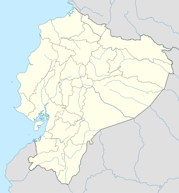 SEIB Location of the airport in Ecuador | |||||||||||
| Runways | |||||||||||
| |||||||||||
|
Sources: Google Maps[1] | |||||||||||
Atahualpa Airport (ICAO: SEIB) was an airport formerly serving the town of Ibarra in Imbabura Province, Ecuador.
The Google Earth Historical Image for 6/7/2011 shows a 1,950 metres (6,400 ft) north/south asphalt runway. The 9/1/2015 image shows the runway gone and the land under commercial and residential development.
See also
 Ecuador portal
 Aviation portal
- List of airports in Ecuador
- Transport in Ecuador
References
Google Earth Historical Imagery
External links
This article is issued from
Wikipedia.
The text is licensed under Creative Commons - Attribution - Sharealike.
Additional terms may apply for the media files.