Alfalfa, Oklahoma
| Alfalfa, Oklahoma | |
|---|---|
| Unincorporated community | |
 Alfalfa | |
| Coordinates: 35°13′08″N 98°36′26″W / 35.21889°N 98.60722°WCoordinates: 35°13′08″N 98°36′26″W / 35.21889°N 98.60722°W | |
| Country | United States |
| State | Oklahoma |
| County | Caddo |
| Elevation | 1,457 ft (444 m) |
| Time zone | Central (CST) (UTC-6) |
| • Summer (DST) | CDT (UTC-5) |
| Area code(s) | 405 |
| GNIS feature ID | 1089581[1] |
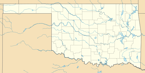
Alfalfa is an unincorporated community in Caddo County, Oklahoma, United States. Alfalfa is located on Oklahoma State Highway 58 8 miles (13 km) north of Carnegie.
The community was so named on account of alfalfa fields near the original town site.[2]
References
- ↑ U.S. Geological Survey Geographic Names Information System: Alfalfa, Oklahoma
- ↑ Moyer, Armond; Moyer, Winifred (1958). The origins of unusual place-names. Keystone Pub. Associates. p. 8.
This article is issued from
Wikipedia.
The text is licensed under Creative Commons - Attribution - Sharealike.
Additional terms may apply for the media files.
