Tutnall
Coordinates: 52°19′50″N 2°01′06″W / 52.33045°N 2.01843°W
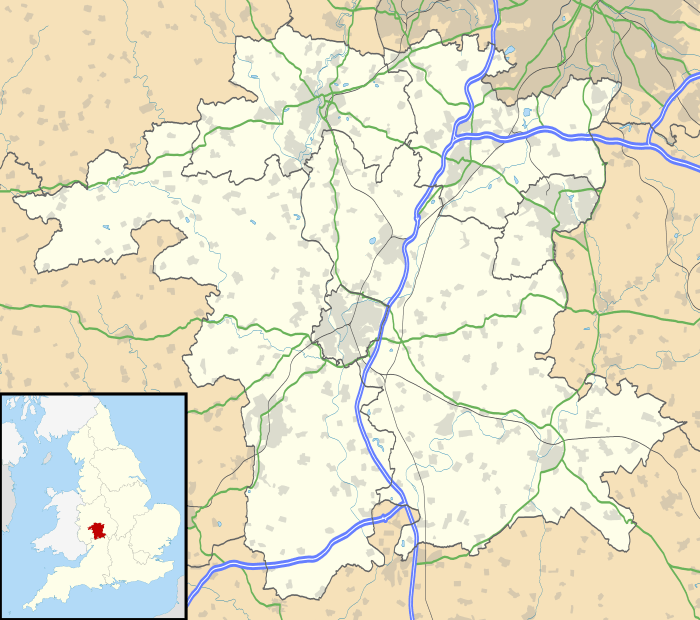
Tutnall is a village in the Bromsgrove district of Worcestershire. It is in the civil parish of Tutnall and Cobley which has a population of 1,543.[2] The A448 used to run through the centre of the village, though this is now bypassed by a modern dual carriageway.
References
This article is issued from Wikipedia - version of the Sunday, January 24, 2016. The text is available under the Creative Commons Attribution/Share Alike but additional terms may apply for the media files.
