Toad Hop, Indiana
| Toadhop | |
|---|---|
| census-designated place | |
 Vigo County's location in Indiana | |
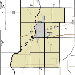 Toadhop Toad Hop's location in Vigo County, Indiana | |
| Coordinates: 39°27′32″N 87°27′49″W / 39.45889°N 87.46361°WCoordinates: 39°27′32″N 87°27′49″W / 39.45889°N 87.46361°W | |
| Country |
|
| State |
|
| County | Vigo County |
| Township | Sugar Creek Township |
| Elevation | 145 m (476 ft) |
| Time zone | eastern |
| ZIP code | 47885 |
| Area code(s) | 812 |
| GNIS feature ID | 444789[1] |
Toad Hop is an unincorporated census-designated place in Sugar Creek Township, Vigo County, Indiana, United States. It is officially part of West Terre Haute. In 2010, Toad Hop was a census designated place.[2] It is part of the Terre Haute metropolitan area.
Geography
Toad Hop is located at 39°27′32″N 87°27′49″W / 39.45889°N 87.46361°W at an elevation of 476 feet. This is the mostly wooded area between the I-70 exit (Darwin Road) and US 40.
References
- ↑ "Toad Hop". Geographic Names Information System. United States Geological Survey. Retrieved 2010-06-24.
- ↑ "Toad Hop". Geographic Names Information System. United States Geological Survey. Retrieved 2010-06-24.
| |||||||||||||||||||||||||||||||||
This article is issued from Wikipedia - version of the Wednesday, September 10, 2014. The text is available under the Creative Commons Attribution/Share Alike but additional terms may apply for the media files.