Tepoto (North)
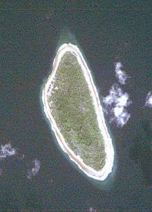
 NASA picture of Tepoto Atoll | |
 | |
| Geography | |
|---|---|
| Location | Pacific Ocean |
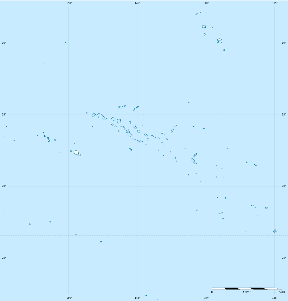
| Coordinates | 14°08′S 141°24′W / 14.133°S 141.400°WCoordinates: 14°08′S 141°24′W / 14.133°S 141.400°W |
| Archipelago | Tuamotus |
| Area | 4 km2 (1.5 sq mi) |
| Length | 2.6 km (1.62 mi) |
| Width | 0.8 km (0.5 mi) |
| Country | |
|
France | |
| Overseas collectivity | French Polynesia |
| Administrative subdivision | Tuamotus |
| Commune | Napuka |
| Demographics | |
| Population | 61[1] (as of 2012) |
Tepoto, also known as Te Poto, Toho, or Pukapoto, is a coral island. It is the northwesternmost of the Disappointment Islands, in the Tuamotu Archipelago. Despite being often referred to as "atoll", Tepoto is not a typical Tuamotu atoll, but a single separate island without lagoon. It is located at the limit of the Tuamotu archipelago; the closest land is Napuka, which lies 16 km to the southeast.
Tepoto is 2.6 km long and 800 m wide; it has an area of 4 km². This island is sometimes called Tepoto Nord in French, to avoid confusion with Tepoto Atoll (Tepoto Sud) 400 km (240 mi.) to the southwest, in the Raeffsky Islands of central Tuamotu. An obsolete name is Otuho.
According to the 2012 census, its population was 61 inhabitants. The primary village is Tehekega. There is a 5m wide road running round the whole island.
History
The first recorded European to arrive to Tepoto Nord was explorer John Byron in 1765. He named Napuka and Tepoto "Disappointment Islands" because the natives were of a hostile disposition.
Administration
Tepoto Nord belongs to the commune of Napuka. The commune of Napuka consists of the atolls of Napuka and Tepoto Nord.
References
- ↑ "Population". Institut de la statistique de la Polynésie française. Retrieved 22 September 2014.
Related article
| ||||||||||||||||||||