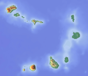
Serra da Malagueta
| Serra da Malagueta | |
|---|---|
 Serra da Malagueta | |
| Highest point | |
| Elevation | 1,064 m (3,491 ft) |
| Listing | List of mountains in Cape Verde |
| Coordinates | 15°10′46″N 23°40′20″W / 15.17944°N 23.67222°WCoordinates: 15°10′46″N 23°40′20″W / 15.17944°N 23.67222°W |
| Geography | |
 Serra da Malagueta northern Santiago | |
| Geology | |
| Mountain type | Stratovolcano |
| Climbing | |
| Easiest route | climb |
Serra da Malagueta is a mountain located in the northern part of the island of Santiago, Cape Verde. At 1064 m elevation, it is the second highest peak of Santiago island, after Pico da Antónia (1394 m). It is situated on the border of the municipalities Tarrafal, São Miguel and Santa Catarina.
See also
| ||||||||||||||||||
This article is issued from Wikipedia - version of the Monday, February 24, 2014. The text is available under the Creative Commons Attribution/Share Alike but additional terms may apply for the media files.