Seabrook Beach, New Hampshire
| Seabrook Beach, New Hampshire | |
|---|---|
| Census-designated place | |
|
Eastman's Fishing Fleet | |
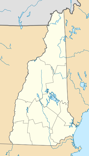
 Seabrook Beach Location within the state of New Hampshire | |
| Coordinates: 42°53′12″N 70°48′56″W / 42.88667°N 70.81556°WCoordinates: 42°53′12″N 70°48′56″W / 42.88667°N 70.81556°W | |
| Country | United States |
| State | New Hampshire |
| County | Rockingham |
| Town | Seabrook |
| Area | |
| • Total | 1.4 sq mi (3.6 km2) |
| • Land | 1.0 sq mi (2.5 km2) |
| • Water | 0.4 sq mi (1.1 km2) |
| Elevation | 10 ft (3 m) |
| Population (2010) | |
| • Total | 992 |
| • Density | 710/sq mi (280/km2) |
| Time zone | Eastern (EST) (UTC-5) |
| • Summer (DST) | EDT (UTC-4) |
| Area code(s) | 603 |
| FIPS code | 33-68340 |
| GNIS feature ID | 0869829 |
Seabrook Beach is a census-designated place in the town of Seabrook and partially in the town of Hampton in Rockingham County, New Hampshire. It had a population of 992 at the 2010 census.[1]
The village is a compact area of homes located between New Hampshire Route 1A and the Atlantic Ocean. It extends from the mouth of the Hampton River in the north to the Massachusetts state line in the south.
References
- ↑ United States Census Bureau, American FactFinder, 2010 Census figures. Retrieved March 23, 2011.
This article is issued from Wikipedia - version of the Tuesday, January 06, 2015. The text is available under the Creative Commons Attribution/Share Alike but additional terms may apply for the media files.

