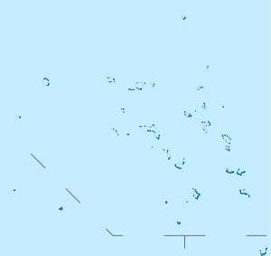
Roi-Namur
|
Roi–Namur Battlefield | |
 | |
| Location | Kwajalein Missile Range, Kwajalein Atoll |
|---|---|
| Coordinates | 9°23′46″N 167°28′33″E / 9.39611°N 167.47583°ECoordinates: 9°23′46″N 167°28′33″E / 9.39611°N 167.47583°E |
| Built | 1944 |
| NRHP Reference # | 85001758 |
| Significant dates | |
| Added to NRHP | February 4, 1985[1] |
| Designated NHLD | February 4, 1985[2] |
Roi-Namur /ˌrɔɪ-nəˈmʊər/ is an island in the north part of the Kwajalein atoll in the Marshall Islands. Germany annexed the Marshalls in 1885 but did not put government officials on the islands until 1906, leaving island affairs to a group of powerful German trading companies. Under the Treaty of Versailles, Japan took over in 1914. They colonised the Marshalls extensively, developing and fortifying large bases on many of the islands.
Roi-Namur was the target of the U.S. 4th Marine Division in the Battle of Kwajalein, in February 1944. During the Japanese occupation, the two islands (Roi to the west (Marshallese: Ruot, [rʷuɔ͡ʌtˠ]) and Namur to the east (Nim̧ur, [nʲi͡ɯmˠɯ͡urʷ])) were connected by a narrow neck of land and causeway. After the American occupation, US Navy SeaBees filled the area between the islands by December 1944; the two islands are now joined are presently called Roi-Namur with a total area of about one square mile.
It is home to an about 120 American and Marshallese employees of the Reagan Test Site. There is Freeflight International Airport (Marshall Islands) with one runway for small planes that commute from Kwajalein bringing additional workers. Additional Marshallese daytime workers come via ferry from the island of Enniburr.
The Roi side is the main housing area, with the retail and recreation facilities there. Activities on Roi-Namur range from a nine-hole golf course, saltwater swimming pool, scuba club, movie theater, volleyball, and basketball court. There is a small launch facility on Roi-Namur. Rockets launched here are usually sounding rockets that ascend beyond the atmosphere but have short ranges. The Namur side is home to the ALCOR, ALTAIR, MMW and TRADEX radar tracking stations. There are crumbling remnants of Japanese blockhouses and pillboxes around Roi-Namur.
-
Map of Roi-Namur
-

TRADEX radar
References
- ↑ Staff (2008-04-15). "National Register Information System". National Register of Historic Places. National Park Service.
- ↑ "Roi-Namur". National Historic Landmark summary listing. National Park Service. Retrieved 2007-06-28.
External links
| ||||||||||||||||||||||||||