Rochford, Worcestershire
| Rochford | |
 St Michael |
|
 Rochford |
|
| Population | 228 |
|---|---|
| OS grid reference | SO629684 |
| – London | 144mi |
| Civil parish | Rochford |
| District | Malvern Hills |
| Shire county | Worcestershire |
| Region | West Midlands |
| Country | England |
| Sovereign state | United Kingdom |
| Post town | TENBURY WELLS |
| Postcode district | WR15 |
| Dialling code | 01299 |
| Police | West Mercia |
| Fire | Hereford and Worcester |
| Ambulance | West Midlands |
| EU Parliament | West Midlands |
| UK Parliament | West Worcestershire |
|
|
Coordinates: 52°18′45″N 2°32′43″W / 52.312478°N 2.545216°W
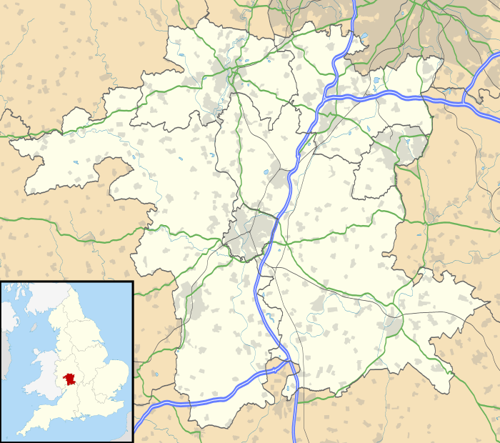
Rochford consists of the hamlets of Lower Rochford and Upper Rochford. It is a civil parish in the Malvern Hills District near Tenbury Wells. The parish is within the county of Worcestershire, England. The county town of Worcestershire is Worcester, which is located 18 miles (29 km) south east of Rochford.
The chapelry of Rochford was an exclave of Herefordshire, part of the hundred of Wolphy. It was transferred by the Counties (Detached Parts) Act 1844 to Worcestershire.
History
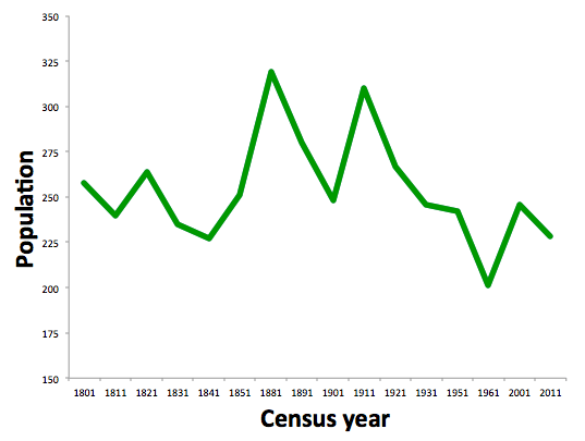
Data from the first UK census in 1801 is available for the parish of Rochford. At the time of the first census the recorded population was 258[1]. Since then the population has fluctuated between 200 - 300 people. The highest population was recorded in 1881 which showed the population at 319 people, 61 people more than in 1801. The lowest population for the parish was in 1961 when it was 201 people. The census data for 2001 and 2011 showed a decrease between the two censuses. [2]

In 1870-72, John Marius Wilson's Imperial Gazetteer of England and Wales described Rochford like this
ROCHFORD, a parish, with a village, in Tenbury district, Worcester; on the river Teme, 2¾ miles E of Tenbury r. station. It has a post-office under Tenbury, Pop., 315.The church is Norman, and was restored and enlarged in 1865.[3]
References
- ↑ "Vision of Britain - Rochford". Retrieved 15 February 2016.
- ↑ "Neighbourhood statistics for Rochford". Neighbourhood statistics. Retrieved 15 February 2016.
- ↑ Wilson, John Marius (1870–72). Imperial Gazetteer of England and Wales. Edinburgh: A.Fullerton & Co.