Ponta Delgada, São Vicente
| Ponta Delgada | |
|---|---|
| Parish | |
 Ponta Delgada | |
| Coordinates: 32°49′30″N 16°59′20″W / 32.825°N 16.989°WCoordinates: 32°49′30″N 16°59′20″W / 32.825°N 16.989°W | |
| Country | Portugal |
| Region | Madeira |
| Municipality | São Vicente |
| Area | |
| • Total | 9.39 km2 (3.63 sq mi) |
| Population (2011) | |
| • Total | 1,363 |
| • Density | 150/km2 (380/sq mi) |

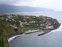
Picture of Ponta Delgada, São Vicente.
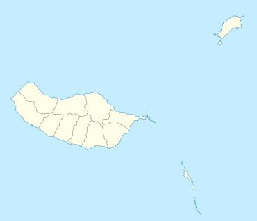
Ponta Delgada is a parish in the municipality of São Vicente in the island of Madeira. The population in 2011 was 1,363,[1] in an area of 9.39 km².[2] Ponta Delgada is located on the north coast, 2 km west of Boa Ventura and 6 km east of São Vicente.
References
This article is issued from Wikipedia - version of the Wednesday, May 21, 2014. The text is available under the Creative Commons Attribution/Share Alike but additional terms may apply for the media files.