Parks Place, Mississippi
| Parks Place, Mississippi | |
|---|---|
| Ghost town | |
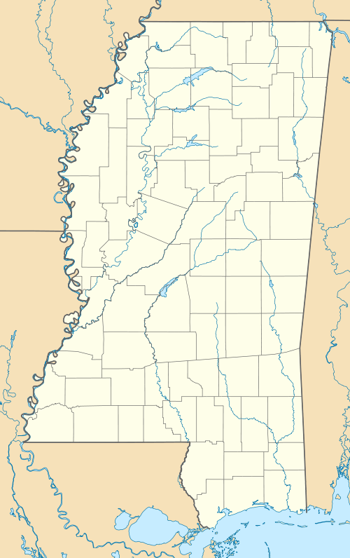
 Parks Place, Mississippi Location within the state of Mississippi | |
| Coordinates: 32°47′17″N 91°08′04″W / 32.78806°N 91.13444°WCoordinates: 32°47′17″N 91°08′04″W / 32.78806°N 91.13444°W | |
| Country | United States |
| State | Mississippi |
| County | Issaquena |
| Elevation | 98 ft (30 m) |
| Time zone | Central (CST) (UTC-6) |
| • Summer (DST) | CDT (UTC-5) |
| GNIS feature ID | 687606[1] |
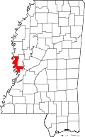
Parks Place is a ghost town in Issaquena County, Mississippi.[1]
Parks Place was a plantation located directly on the Mississippi River. The settlement appeared on a map of Issaquena County from 1873.[2]
Nothing remains of Parks Place.
References
- 1 2 "Parks Place (historical)". Geographic Names Information System. United States Geological Survey.
- ↑ Searles, Jas M.; Stratton, David (1873). "Map of the County of Issaquena, Mississippi". Hugh Lewis.
| |||||||||||||||||||||
This article is issued from Wikipedia - version of the Wednesday, January 28, 2015. The text is available under the Creative Commons Attribution/Share Alike but additional terms may apply for the media files.
