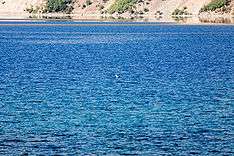
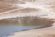
Lake Nemrut
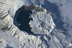
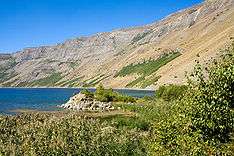
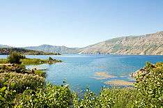
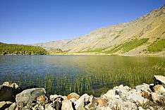
Lake Nemrut (Turkish: Nemrut Gölü; Armenian: Նեմրութ) in Volcano Nemrut, in the Bitlis Province, eastern part of Turkey. It is located at 38°39′N 42°14′E / 38.65°N 42.23°E / 38.65; 42.23, close to Lake Van. Lake Nemrut is located in the elevation of about 2,247 m. It has an area of 12.36 km² and maximum depth of 176 m.
References
- 1 2 Özpeker I. Nemrut Yanardağinin petrojenezi // Ofset Baski Atölyesi, ITÜ Maden Fak., № 3/14, 1973
External links
|
|---|
| | Islands | | |
|---|
| | Cities | |
|---|
| | Neighboring lakes and dams | |
|---|
|
|
|---|
| | Natural lakes | |
|---|
| | Artificial lakes | |
|---|
|
