Mattertal

The Matter Valley or the valley of St. Niklaus (German: Mattertal or Nikolaital) is located in southwestern Switzerland, south of the Rhone valley in the canton of Valais. The village of Zermatt is the most important settlement of the valley, which is surrounded by many four-thousanders, including the Matterhorn.
Geography
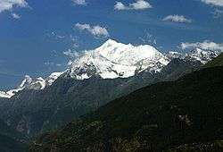
Located in the Pennine Alps, the Matter Valley is drained by the Matter Vispa, a tributary of the Rhone. The valley itself ends at Stalden where it meets the Saas Valley. The resulting valley continues for a few kilometres until it reaches the town of Visp on the young river Rhone. The valley starts between the high summits south of Zermatt (Monte Rosa, Matterhorn) on the border with Italy. The upper side is glaciated, the second largest glacier of the Alps, the Gorner Glacier lies at the foot of Monte Rosa (4,634 m), while the Zmutt Glacier lies at the foot of the Matterhorn (4,478 m). Around the village of Randa are located the Weisshorn (4,505 m) and the Dom (4,545 m). The difference of height between the talweg and the summits on both side reaches over 3 km. The total length of the valley is about 40 km.
Settlements
Zermatt (1,600 m), with approx. 5,600 inhabitants, is the largest and highest town in the valley. St. Niklaus follows with 2,400 inhabitants. Between them are located the smaller villages of Täsch and Randa. The villages of Grächen, Embd and Törbel are located above the valley. Stalden, located at the end of the valley, is the lowest village (800 m).
Transport

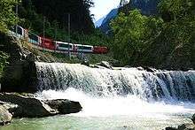
Since the end of the nineteenth century the upper end of the valley is connected by rail from Visp (Matterhorn-Gotthard-Bahn). If the main road connect Zermatt from Visp, it cannot be used between Täsch and Zermatt, the latter being completely car-free.
Since 1930 the valley is directly connected to St. Moritz by the Glacier Express panoramic train.
References
- Swisstopo maps
Coordinates: 46°05′N 7°48′E / 46.083°N 7.800°E
| ||||||||||||||||||