Mantario, Saskatchewan
| Mantario | |
|---|---|
| Special service area[1] | |
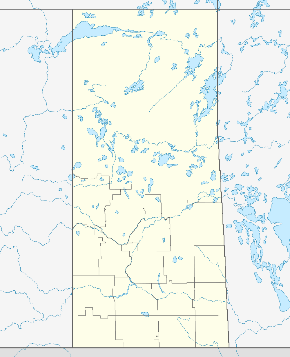 Location of Mantario in Saskatchewan | |
| Coordinates: 51°16′08″N 109°48′25″W / 51.269°N 109.807°W | |
| Country | Canada |
| Province | Saskatchewan |
| Region | Saskatchewan |
| Census division | 8 |
| Rural Municipality | Chesterfield |
| Post office founded |
March 1, 1912 (closed March 27, 1986) |
| Incorporated (village) | N/A |
| Incorporated (town) | N/A |
| Government | |
| • Reeve | Karrie Derouin |
| • Administrator | Beverly Dahl |
| • Governing body | Chesterfield No. 261 |
| Area | |
| • Total | 0.78 km2 (0.30 sq mi) |
| Population (2011) | |
| • Total | 5 |
| • Density | 6.4/km2 (16.6/sq mi) |
| Time zone | CST |
| Postal code | S0L 2J0 |
| Area code(s) | 306 |
| Highways | Highway 44 |
| [2][3][4][5] | |
Mantario is a special service area in Chesterfield Rural Municipality No. 261 in the Canadian province of Saskatchewan. The population was 5 people in 2011. The community is located 70 km southwest of the town of Kindersley on highway 44.
The area is rich in resources, including new found oil reserves. Small farms dot the landscape. Hunting is bountiful in the area as well, species ranging from deer and moose, to an abundance of waterfowl in the fall.
Demographics
Prior to June 30, 2007, Mantario was a village, but it was restructured as a special service area on that date.[1][6]
| |||||||||||||||||||
See also
References
- 1 2 "Search for Municipal Information". Government of Saskatchewan. Retrieved April 7, 2014.
- ↑ National Archives, Archivia Net, Post Offices and Postmasters, retrieved 2011-08-01
- ↑ Government of Saskatchewan, MRD Home, Municipal Directory System (– Scholar search)
- ↑ Canadian Textiles Institute. (2005), CTI Determine your provincial constituency
- ↑ Commissioner of Canada Elections, Chief Electoral Officer of Canada (2005), Elections Canada On-line
- ↑ "Restructured Villages". Saskatchewan Ministry of Municipal Affairs. Archived from the original on March 25, 2008. Retrieved 2008-02-10.
- ↑ "2011 Community Profiles". Canada 2011 Census. Statistics Canada. July 5, 2013.
- ↑ "2006 Community Profiles". Canada 2006 Census. Statistics Canada. March 30, 2011. Retrieved 2011-08-01.
- ↑ "2001 Community Profiles". Canada 2001 Census. Statistics Canada. February 17, 2012.
External links
- Saskatchewan City & Town Maps
- Saskatchewan Gen Web - One Room School Project
- Post Offices and Postmasters - ArchiviaNet - Library and Archives Canada
- Saskatchewan Gen Web Region
- Online Historical Map Digitization Project
- GeoNames Query
- 2001 Community Profiles
 |
Alsask | Flaxcombe | Pinkham Kindersley |
|
| Alberta | |
Laporte Eatonia | ||
| ||||
| | ||||
| Acadia Valley | Estuary | Leader |
| ||||||||||||||||||||||
Coordinates: 51°16′08″N 109°48′25″W / 51.269°N 109.807°W