Leiren
| Leiren Leira | |
|---|---|
| Village | |
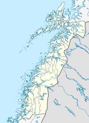
 Leiren Location in Nordland | |
| Coordinates: 65°25′33″N 13°39′37″E / 65.42583°N 13.66028°ECoordinates: 65°25′33″N 13°39′37″E / 65.42583°N 13.66028°E | |
| Country | Norway |
| Region | Northern Norway |
| County | Nordland |
| District | Helgeland |
| Municipality | Grane |
| Elevation[1] | 371 m (1,217 ft) |
| Time zone | CET (UTC+01:00) |
| • Summer (DST) | CEST (UTC+02:00) |
| Post Code | 8680 Trofors |
Leiren or Leira is a village in the municipality of Grane in Nordland county, Norway. The village is located at the northern end of the lake Nedre Fiplingvatnet. The municipal center of Trofors lies about 25 kilometres (16 mi) to the northwest and the village of Majavatn lies about 30 kilometres (19 mi) to the south. The local Fiplingdal Church is located in Leiren, serving the eastern part of Grane.
References
This article is issued from Wikipedia - version of the Sunday, December 11, 2011. The text is available under the Creative Commons Attribution/Share Alike but additional terms may apply for the media files.