Lake Melville
- For the provincial electoral district, see Lake Melville
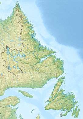
Lake Melville is a saltwater tidal extension of Hamilton Inlet on the Labrador coast in the Canadian province of Newfoundland and Labrador. Comprising 3,069 square kilometres,[2] and stretching 140 kilometres inland to Happy Valley-Goose Bay, it forms part of the largest estuary in the province, primarily draining the Churchill River and Naskaupi River watersheds. Both Lake Melville and Hamilton Inlet are encircled by mountains, with primary settlements at Happy Valley-Goose Bay, North West River, and Sheshatshiu. A ferry service runs on Lake Melville and Hamilton Inlet, connecting a number communities including Happy Valley-Goose Bay, Rigolet and Cartwright. Lake Melville was named for Viscount Melville (1742–1811), a prominent British politician.
References
External links
|
|---|
| | Provinces | |
|---|
| | Territories | |
|---|
|
-
 Book Book
-
 Category Category
-
 Portal Portal
-
 WikiProject WikiProject
|
|
